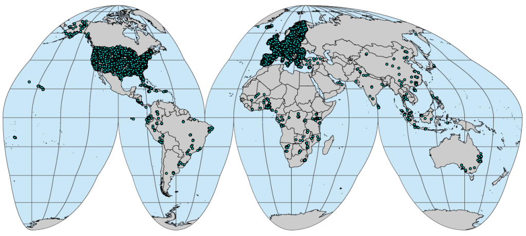
OpenGeoHub together with partners Woodwell Climate Research and University of Florida, has released on the World Soil Day 5th of December 2021 the first ...
Read More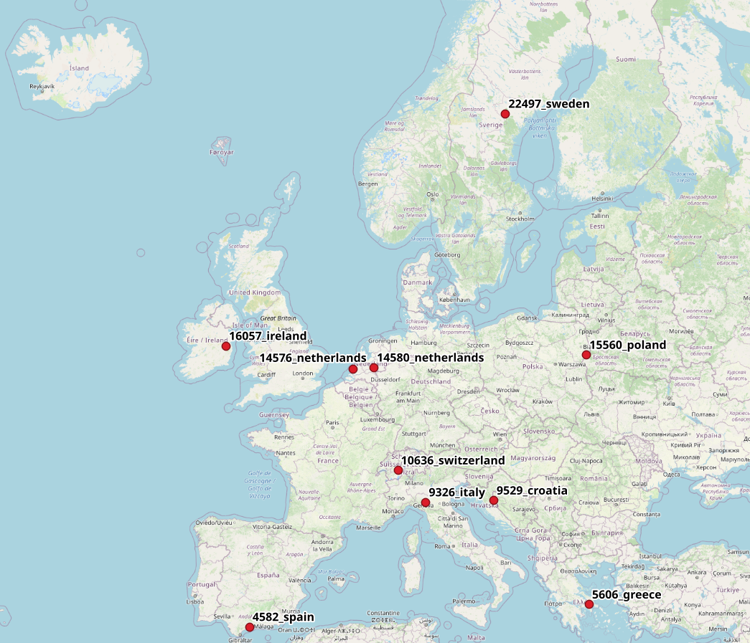
Benchmark dataset containing slope, elevation, Landsat temporal composites and night light raster layers, and the training samples (LUCAS and CORINE samples compilation) to map the land-cover in different areas of the European Union-EU.
Read More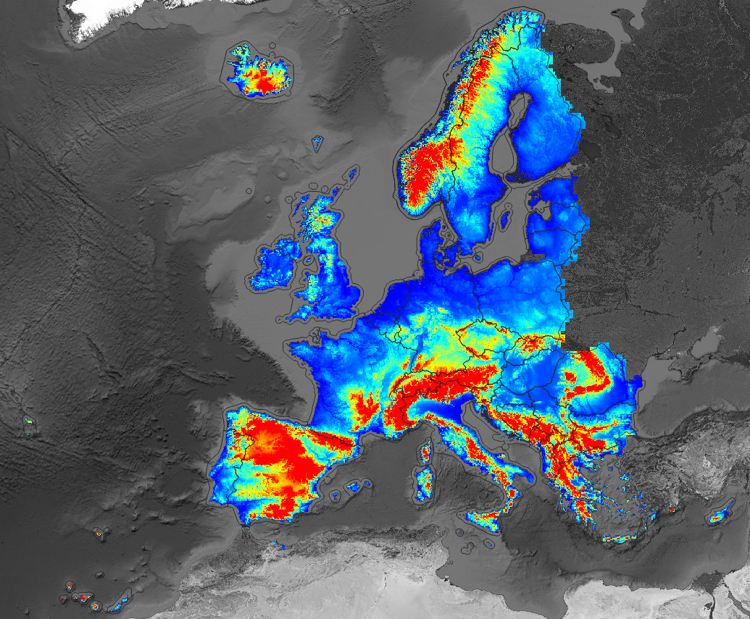
Digital Terrain Model for Continental Europe based on the three publicly available Digital Surface Models and predicted using an Ensemble Machine Learning (EML).
Read More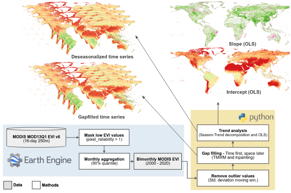
DOI Authors License Publication date September 28, 2020 Go to Dataset the Global Vegetation Trends product generated by OpenGeoHub, which consists in a bi-monthly...
Read MoreGeneral rules The organizers of OpenGeoHub Summer Schools are dedicated to providing a harassment-free event experience for everyone regardless of gender, gender expression, sexual...
Read More
To be able to use spatial data and make decisions based on it, we need to be able to visualize it (statically, interactively, through web etc).
Read More
R has increasing functionality for analyzing spatial data, but so has GRASS GIS, QGIS and/or SAGA GIS. This course explains how to use GIS software from within R for statistical geocomputing.
Read More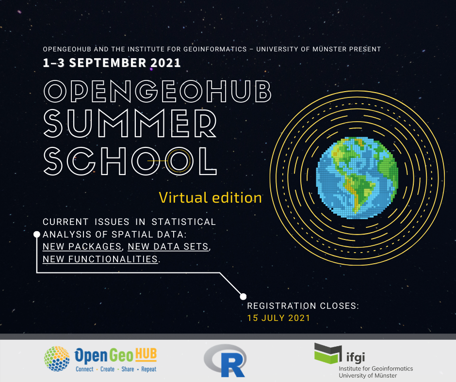
The 2021 event took place from 1st to 3rd of September virtually, with all training sessions being broadcasted live on Zoom, giving everyone the...
Read More
This vacancy is closed Application Deadline: 15th of May 2021Possible start date: 1st of June 2021Duration: 1+ years,Job location: Agro Business Park 10, WageningenBruto monthly salary:...
Read More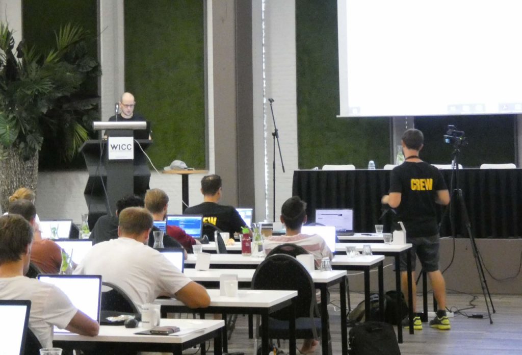
Application Deadline: 30th of January 2021,Possible start date: 1th of March 2021,Duration: 2+ years,Appointment type: 3 days per weekJob location: Agro Business Park 10,...
Read More