DOI Parente, Leandro; Simoes, Rolf; Hengl, Tomislav Authors Creative Commons Attribution 4.0 International License July 31, 2023 Publication date Go to Dataset The monthly...
Read More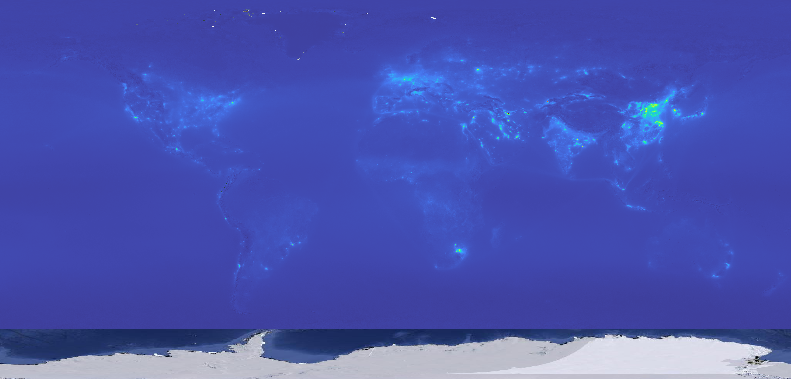
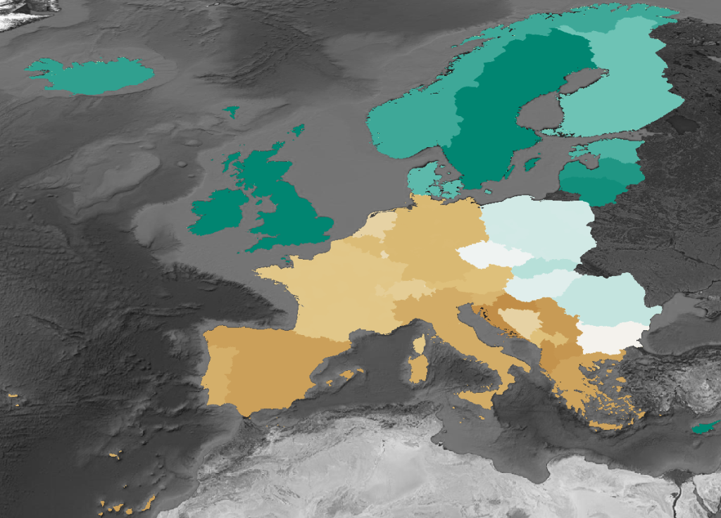
Annual predictions Corine Land Cover classes at 30m resolution, including class-wise probabilities and pixel-wise prediction uncertainty.
Read More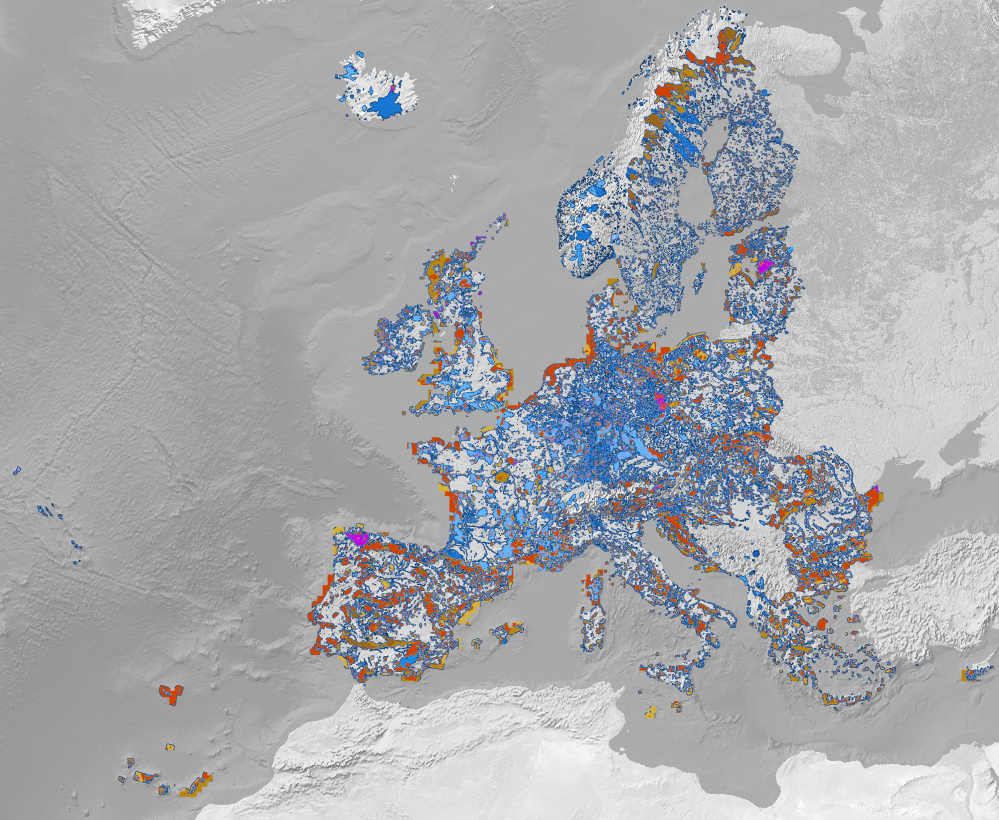
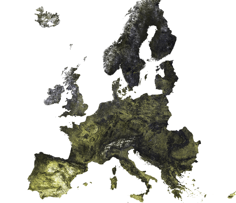
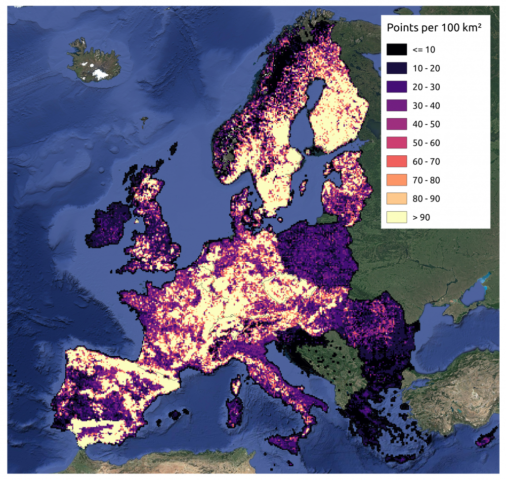
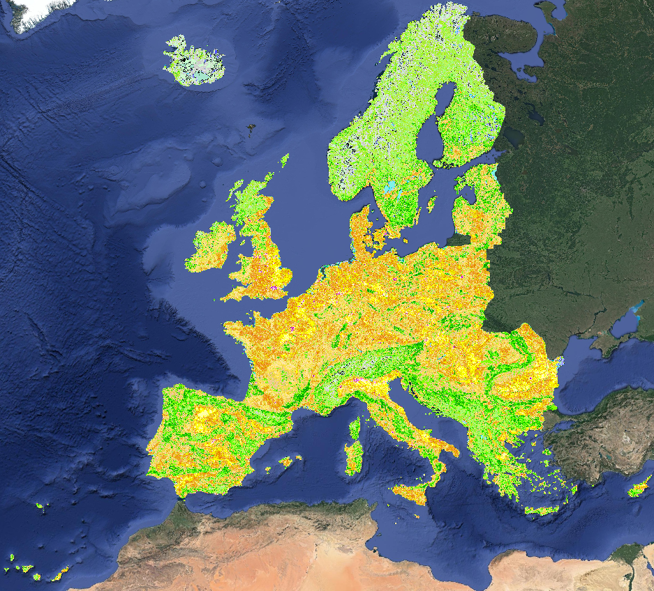
Benchmark dataset containing slope, elevation, Landsat temporal composites and night light raster layers, and the training samples (LUCAS and CORINE samples compilation) to map the land-cover in different areas of the European Union-EU.
Read More
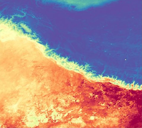
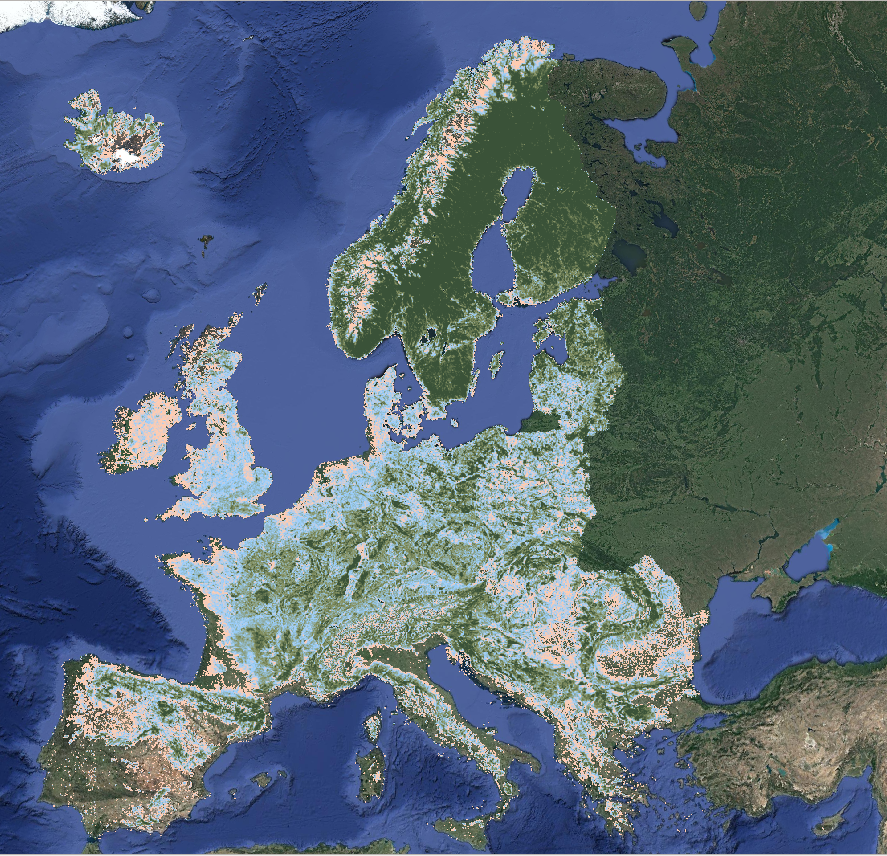
Digital Terrain Model for Continental Europe based on the three publicly available Digital Surface Models and predicted using an Ensemble Machine Learning (EML).
Read More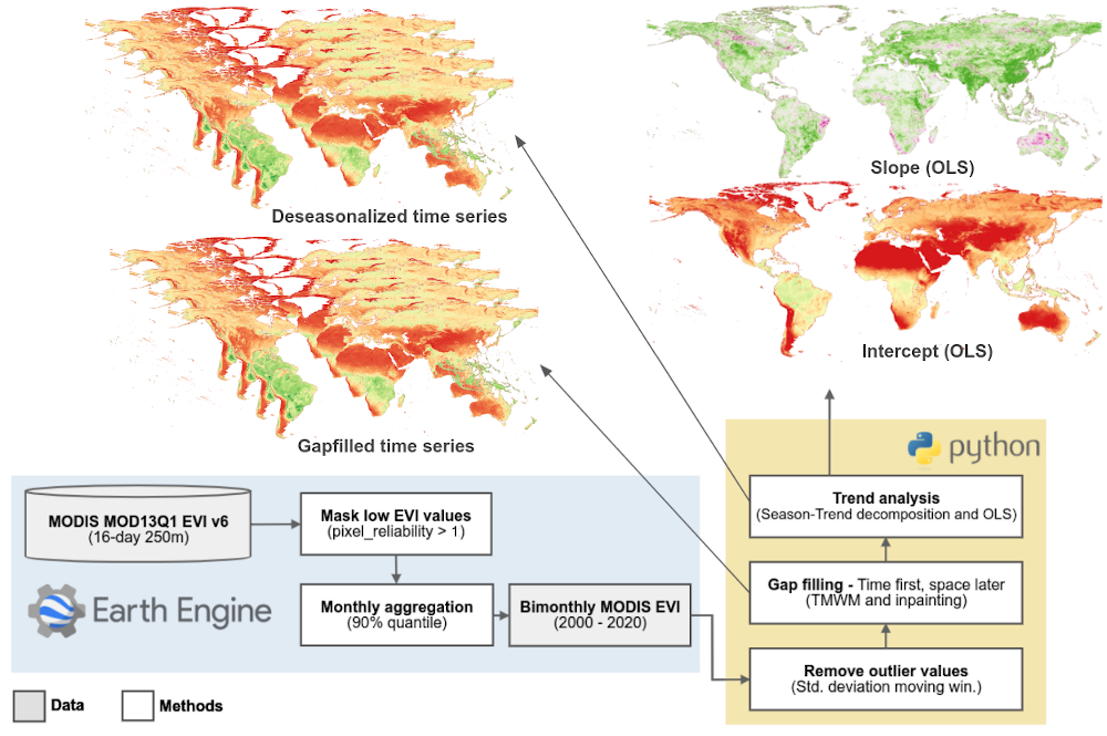
DOI Authors License Publication date September 28, 2020 Go to Dataset the Global Vegetation Trends product generated by OpenGeoHub, which consists in a bi-monthly...
Read More