ESA Symposium on EO 4 Soil Protection and Restoration, March 2024, ESA-ESRIN center, Frescati, Italy From February 2nd to 14th, 2024, researchers, students, scientists,...
Read More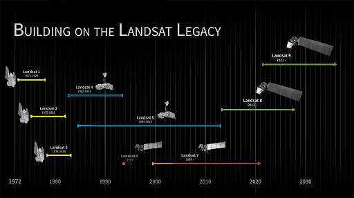
The NASA / USGS Landsat Program is the longest running initiative to provide space-based data for Earth’s land surface. Based on nine satellites, this...
Read More
Read about the selection process to work at OpenGeoHub
Read More
OpenGeoHub together with partners Woodwell Climate Research and University of Florida, has released on the World Soil Day 5th of December 2021 the first ...
Read More
OpenGeoHub, in partnership with the Woodwell Climate Research Center and the University of Florida, will launch a new project aimed at helping soil scientists use soil spectroscopy...
Read More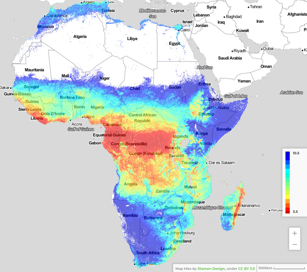
Importance of iSDAsoil More than 475 million out of 570 million farms in the world are smaller than 2 hectares. A substantial amount of them...
Read More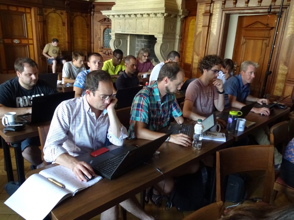
Background Purpose of the OpenGeoHub Spatial Prediction Competition Game (the OpenGeoHub hackaton; former GEOSTAT hackatons) is to provide an opportunity to students to use all obtained...
Read More
At OpenGeoHub and EnvirometriX, we recognize that machine learning, combined with AI, is a game-changer for both science and business. It’s having a major...
Read MoreCall for manuscripts Technological and Methodological Advances in Measuring, Mapping and Monitoring Soil Carbon and Nutrients in Space and Spacetime Special issue Nutrient Cycling in...
Read More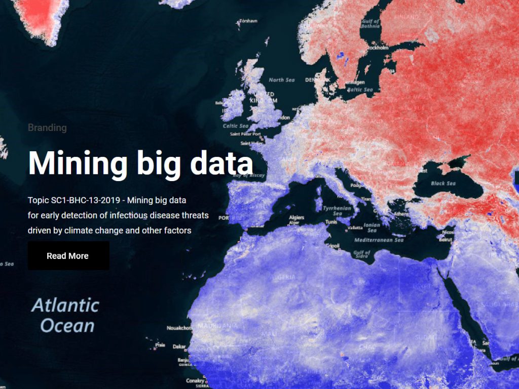
OpenGeoHub is proud to be part of the international consortium on the H2020 project MOnitoring Outbreak events for Disease surveillance in a data science context....
Read More