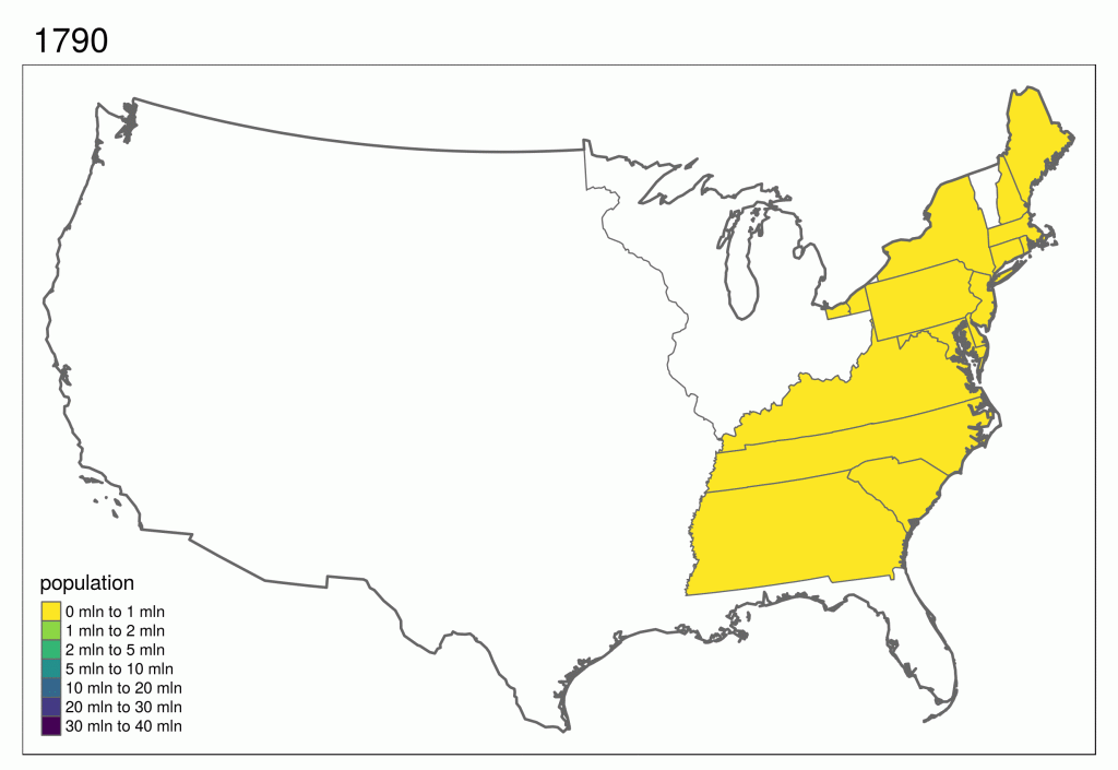
To be able to use spatial data and make decisions based on it, we need to be able to visualize it (statically, interactively, through web etc).
Read More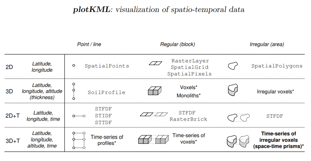
Several R packages exists that allows loading spatial and spatiotemporal data and which provide structures, validity control and functions. One of the packages with the highest number of dependencies is the sp package.
Read More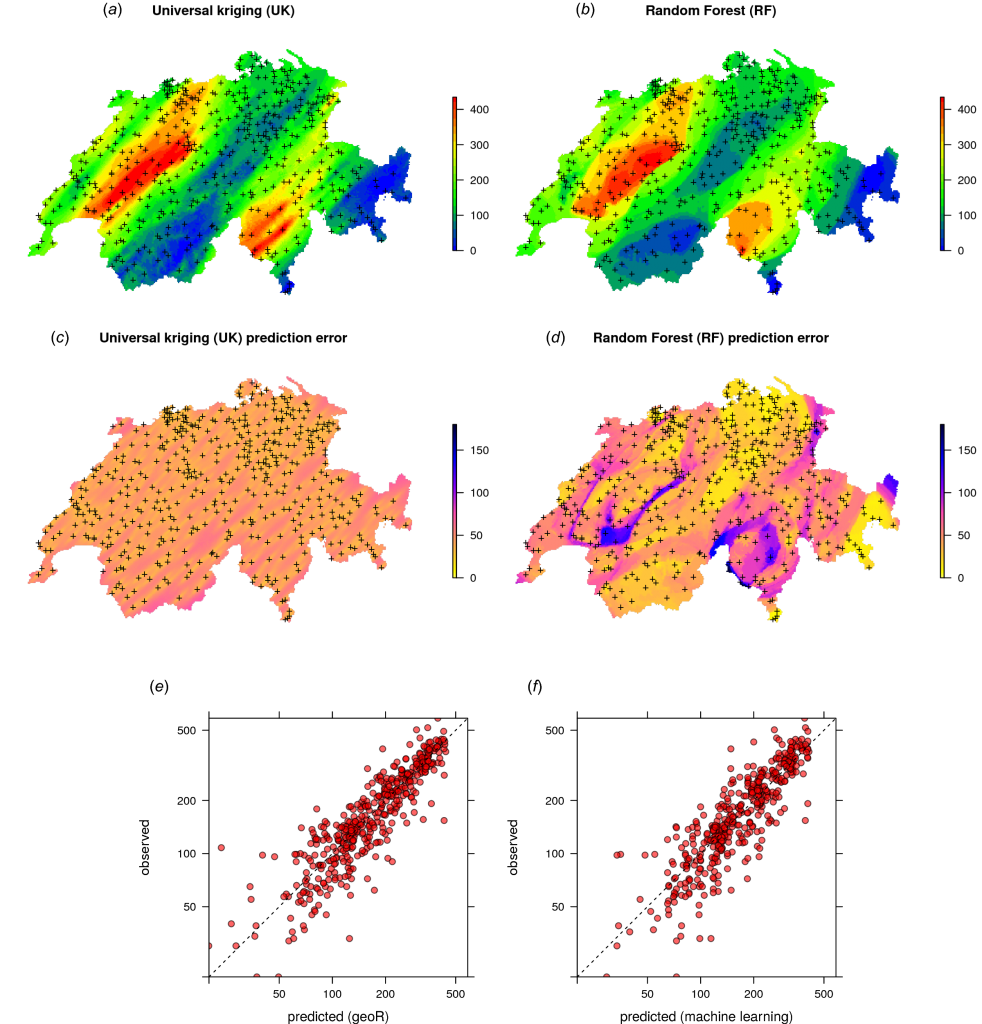
Machine Learning Algorithms are increasingly interesting for analyzing spatial data, especially to derive spatial predictions / for spatial interpolation and to detect spatial patterns
Read More