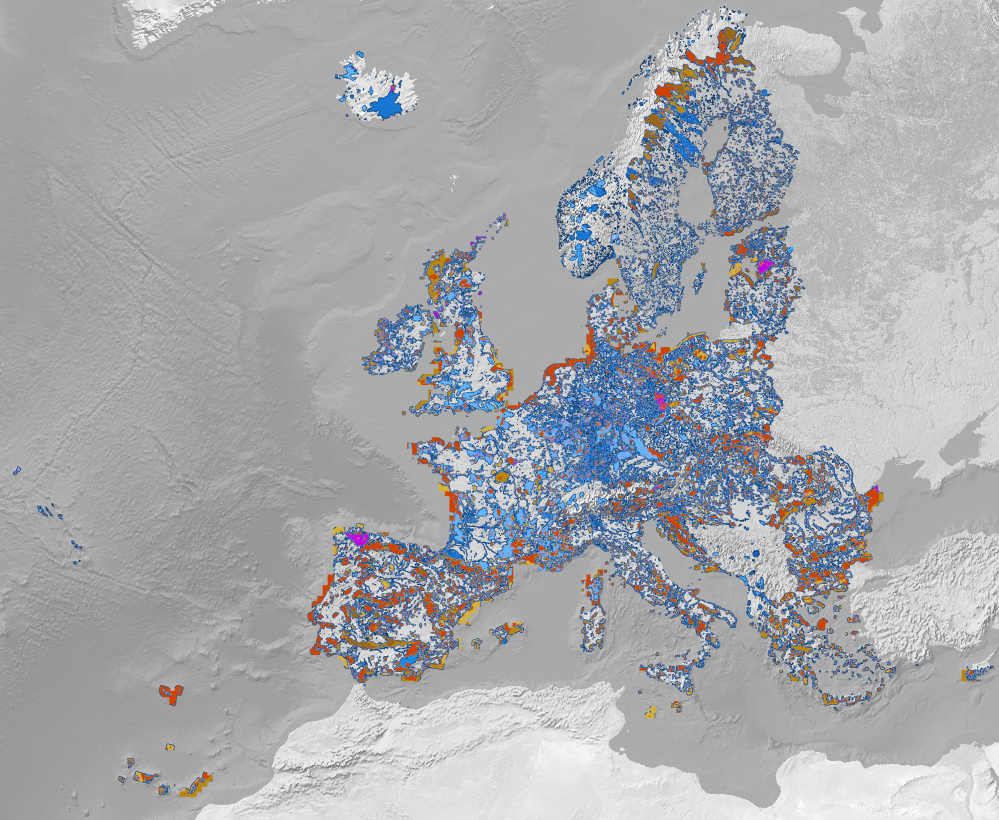
Benchmark dataset containing slope, elevation, Landsat temporal composites and night light raster layers, and the training samples (LUCAS and CORINE samples compilation) to map the land-cover in different areas of the European Union-EU.
Read More
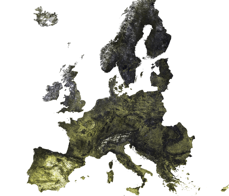
Digital Terrain Model for Continental Europe based on the three publicly available Digital Surface Models and predicted using an Ensemble Machine Learning (EML).
Read More