DOI
Authors
Publication date
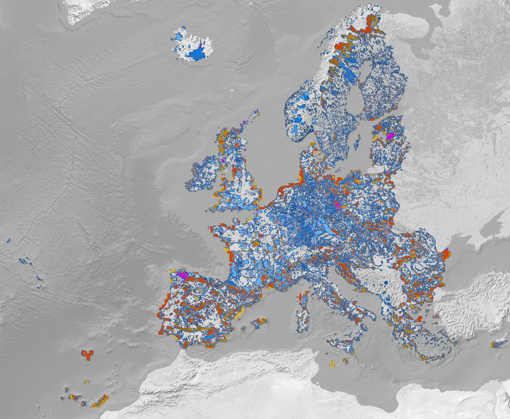
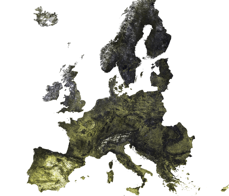
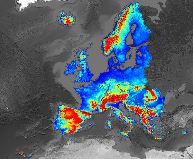
Digital Terrain Model for Continental Europe based on the three publicly available Digital Surface Models and predicted using an Ensemble Machine Learning (EML). EML was trainined using GEDI level 2B points (Level 2A; "elev_lowestmode") and ICESat-2 (ATL08; "h_te_mean"): about 9 million points were overlaid vs MERITDEM, AW3D30, GLO-30, EU DEM, GLAD canopy height, tree cover and surface water cover maps, then an ensemble prediction model (mlr package in R) was fitted using random forest, Cubist and GLM, and used to predict most probable terrain height (bare earth). Read more about this layer in this article.
- Open layer in: OpenDataScience Europe Viewer;
- GeoHarmonizer project;
European coverage, 30m resolution, Cloud Optimized Geotiff, https download
EPSG:3035
Hengl, Tomislav, Leal Parente, Leandro, Krizan, Josip, & Bonannella, Carmelo. (2020). Continental Europe Digital Terrain Model at 30 m resolution based on GEDI, ICESat-2, AW3D, GLO-30, EUDEM, MERIT DEM and background layers (v0.3) [Data set]. Zenodo. https://doi.org/10.5281/zenodo.4724549
					library(jsonlite)
library(RCurl)
library(terra)
## https://developers.zenodo.org/#authentication
TOKEN = scan("~/TOKEN_ACCESS", what="character")
dep.id = "4724549"
x = fromJSON(system(paste0('curl -H \"Accept: application/json\" -H \"Authorization: Bearer ',
                             TOKEN, '\" \"https://www.zenodo.org/api/deposit/depositions/', dep.id, '\"'), intern=TRUE))
in.tif = paste0("/vsicurl/", x$links$latest_html,
    "/files/dtm_elev.lowestmode_gedi.eml_md_30m_0..0cm_2000..2018_eumap_epsg3035_v0.3.tif")
r = terra::rast(in.tif)
r
# class       : SpatRaster
# dimensions  : 152000, 188000, 1  (nrow, ncol, nlyr)
# resolution  : 30, 30  (x, y)
# extent      : 9e+05, 6540000, 900010, 5460010  (xmin, xmax, ymin, ymax)
# coord. ref. : +proj=laea +lat_0=52 +lon_0=10 +x_0=4321000 +y_0=3210000 +ellps=GRS80 +units=m +no_defs
# data source : dtm_elev.lowestmode_gedi.eml_md_30m_0..0cm_2000..2018_eumap_epsg3035_v0.3.tif
# names       : dtm_elev.lowestmode_gedi.eml_md_30m_0..0cm_2000..2018_eumap_epsg3035_v0.3

## total list:
knitr::kable(head(x$files[,c("filename", "filesize")], n=15))
#|filename                                                                        |    filesize|
#|:-------------------------------------------------------------------------------|-----------:|
#|001_preview_EU_DTM.png                                                          |     1449150|
#|dtm_canopy.height_glad.umd_m_30m_0..0cm_2019_eumap_epsg3035_v0.1.tif            |  3696999260|
#|dtm_elev.dsm_alos.aw3d_m_30m_0..0cm_2016..2018_eumap_epsg3035_v2012.tif         |  9911880300|
#|dtm_elev.lowestmode_gedi.eml_m_100m_0..0cm_2000..2018_eumap_epsg3035_v0.3.tif   |  1216810640|
#|dtm_elev.lowestmode_gedi.eml_md_30m_0..0cm_2000..2018_eumap_epsg3035_v0.3.tif   |  4999527675|
#|dtm_elev.lowestmode_gedi.eml_mf_30m_0..0cm_2000..2018_eumap_epsg3035_v0.3.tif   | 11583599452|
#|dtm_elev.lowestmode_meritdem_m_100m_0..0cm_2000..2018_eumap_epsg3035_v1.01.tif  |  1045455992|
#|dtm_hillshade.a315_gedi.eml_mf_30m_0..0cm_2000..2018_eumap_epsg3035_v0.3.tif    |  3072213368|
#|gedi_elev.lowestmode_2019_eumap.RDS                                             |   327810332|
#|hyd_surface.water_jrc.gswe_p_30m_0..0cm_1984..2019_eumap_epsg3035_v0.1.tif      |   998194349|
#|lcv_bare.earth_glcf.landsat_m_30m_0..0cm_2010_eumap_epsg3035_v0.1.tif           |  3495477581|
#|lcv_landcover.12_pflugmacher2019_c_1m_s0..0m_2014..2016_eumap_epsg3035_v0.1.tif |  1332398033|
#|lcv_tree.cover_umd.landsat_m_30m_0..0cm_2010_eumap_epsg3035_v1.7.tif            |  4323667068|