What we offer
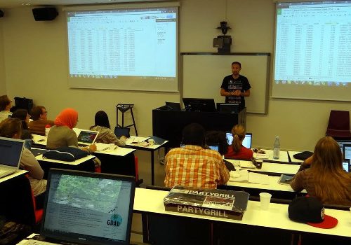
TRAINING AND NETWORKING
We help researchers grow by connecting them with peer networks, helping them improve their programming skills, and helping them to make their research more open and reproducible.
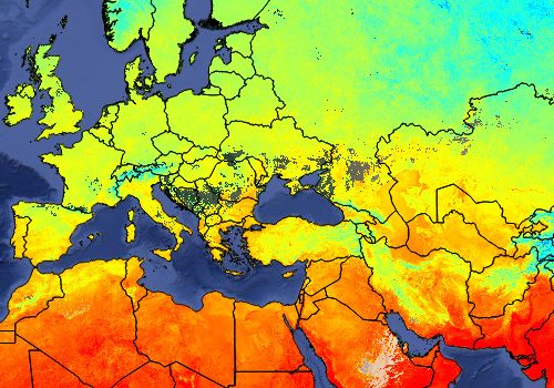
DATA PRODUCTION AND HOSTING
Building trust requires transparency: we promote and actively support the production, sharing and use of Open GeoData based on the Open Knowledge Foundation licenses.
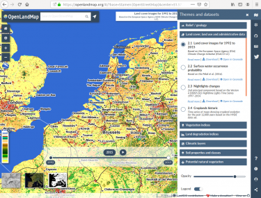
VISUALIZATION PLATFORMS
Data are awesome tools when they are easy to visualize: we create web-mapping services in original, easy-to-navigate, open-access platforms, with metadata and download functionalities, and a unique user experience touch.
SPECIALIZED TRAINING
We provide tailored courses for groups of researchers or parts of larger organization. These seminars are usually focused on hands-on-software i.e. computer coding.
HELPING WITH PUBLISHING OF DATA
We provide data preparation, production and hosting following the Open Geospatial Consortium (OGC) standards and metadata standards.
ENABLING FEMALE DEVELOPERS
We aim especially to encourage and empower under-represented researchers (e.g. those from ODA recipient countries and female researchers).
SERVING DECISION MAKERS
We aim to provide all users with easily accessible and trustworthy Open Geographical Environmental Data, fully documented, peer reviewed and reproducible.
PROMOTING OPEN DATA
We promote and actively support the production, sharing and use of Open GeoData (based on the Open Knowledge Foundation licenses).
SUPPORTING COLLABORATION
We help with community projects such as development of Open Source software, Open Access publications and international collaboration.
Established to promote Open Source Software and Open Data!
OpenGeoHub is a not-for-profit research foundation with headquarters in Wageningen, the Netherlands (Stichting OpenGeoHub, KvK 71844570). The main goal of the OpenGeoHub is to promote publishing and sharing of Open Geographical and Geoscientific Data and using and developing of Open Source Software.

