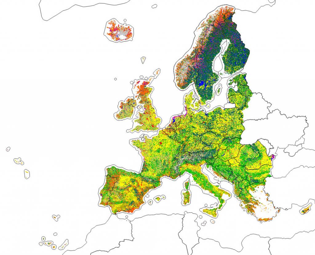
OpenGeoHub has started in 2019 an Innovation and Networks Executive Agency (INEA) co-funded project called “Geo-harmonizer: EU-wide automated mapping system for harmonization of Open Data based...
Read More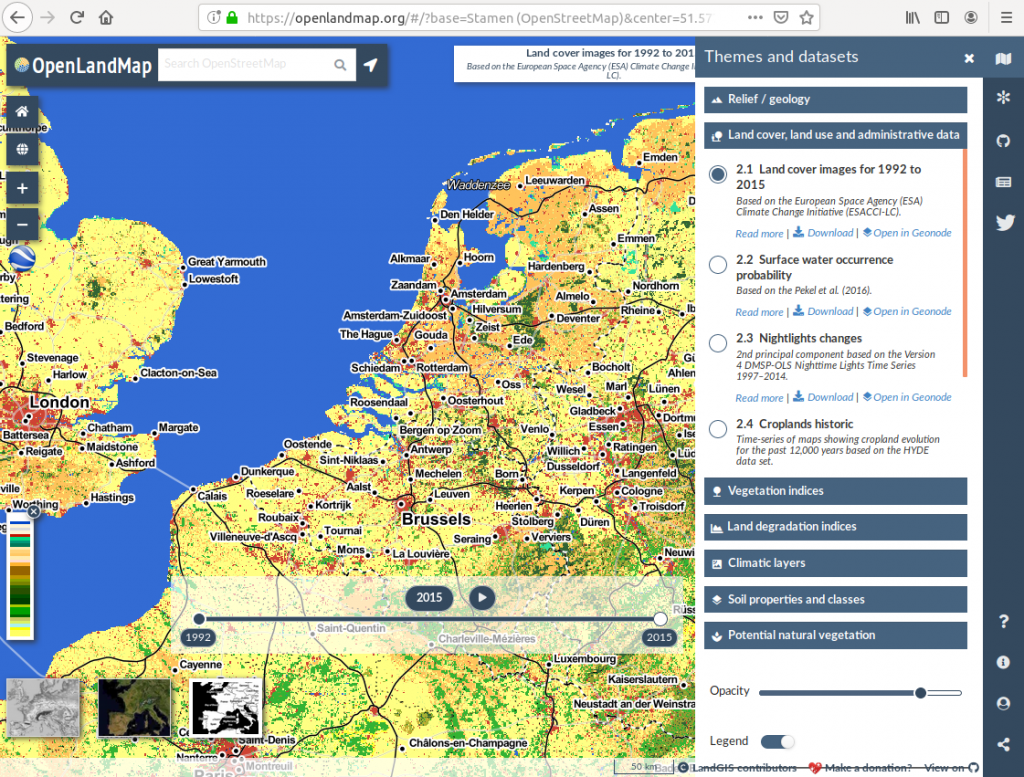
Making an OpenStreetMap-type data portal for land-related environmental data The OpenGeoHub Foundation is pleased to announce the first release of LandGIS, a new webmapping system...
Read More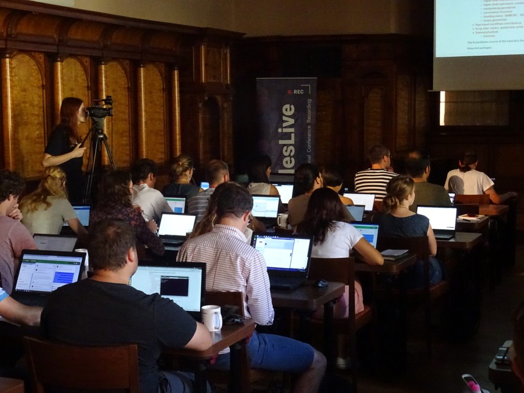
Access video recordings 2018 At every or at least every second Summer School, we aim at video recording majority of lectures and releasing those using...
Read More
Predictive Soil Mapping (PSM) is based on applying statistical and/or machine learning techniques to fit models for the purpose of producing spatial and/or spatiotemporal...
Read More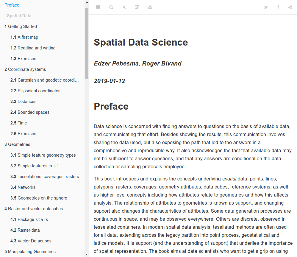
Prof Edzer Pebesma (University of Münster, Institute for geoinformatics, Germany) and prof Roger Bivand (NHH, Bergen, Norway), main authors of the Springer R series bestlessing book on Applied...
Read More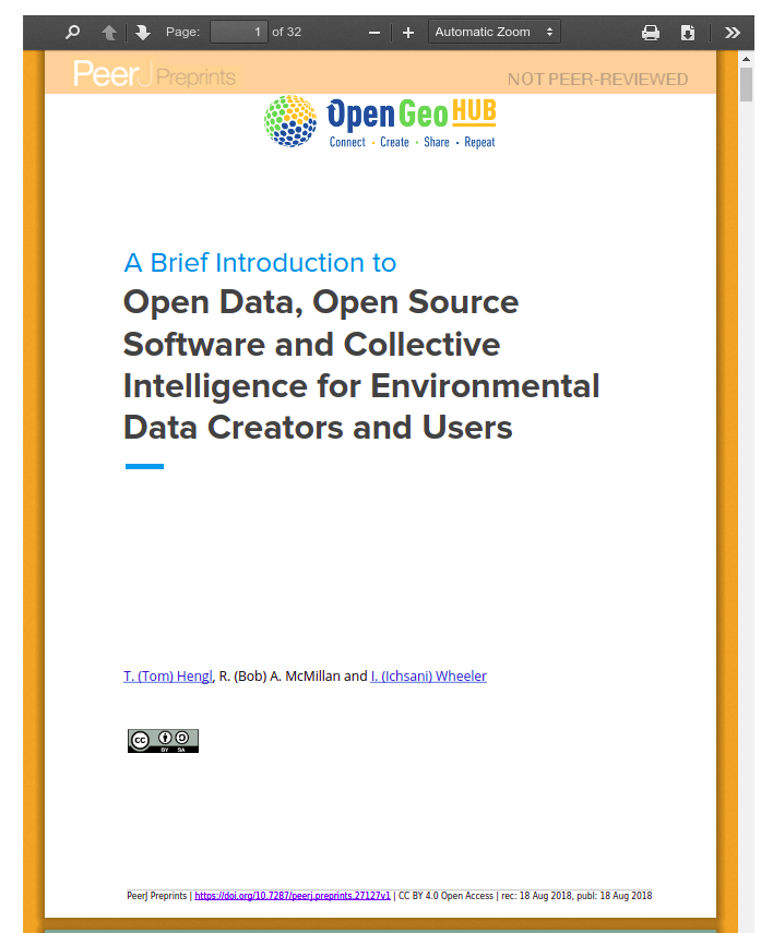
One of the key missions of the OpenGeoHub is to promote creation and use of Open Data. But what is exactly “Open Data” and...
Read More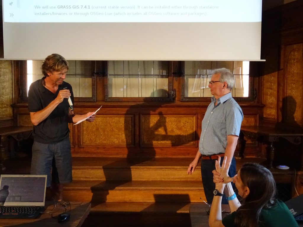
I came to know Roger around the year 2000, through emails he posted to ai-geostats, an email list started by Gregoire Dubois from JRC,...
Read More
Geocomputation with R, a forthcoming book with CRC Press (authored by Robin Lovelace, Jakub Nowosad, Jannes Muenchow) will be officially launched during the GEOSTAT...
Read More