DOI
Parente, Leandro; Simoes, Rolf; Hengl, Tomislav
Authors
July 31, 2023
Publication date
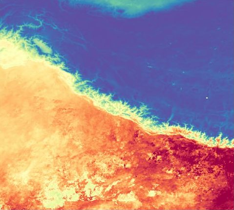
The monthly aggregated water vapor dataset is derived from MCD19A2 v061. The Water Vapor data measures the column above ground retrieved from MODIS near-IR bands at 0.94μm. The dataset time spans from 2000 to 2022 and provides data that covers the entire globe. The dataset can be used in many applications like water cycle modeling, vegetation mapping, and soil mapping. This dataset includes:
- Monthly time-series:
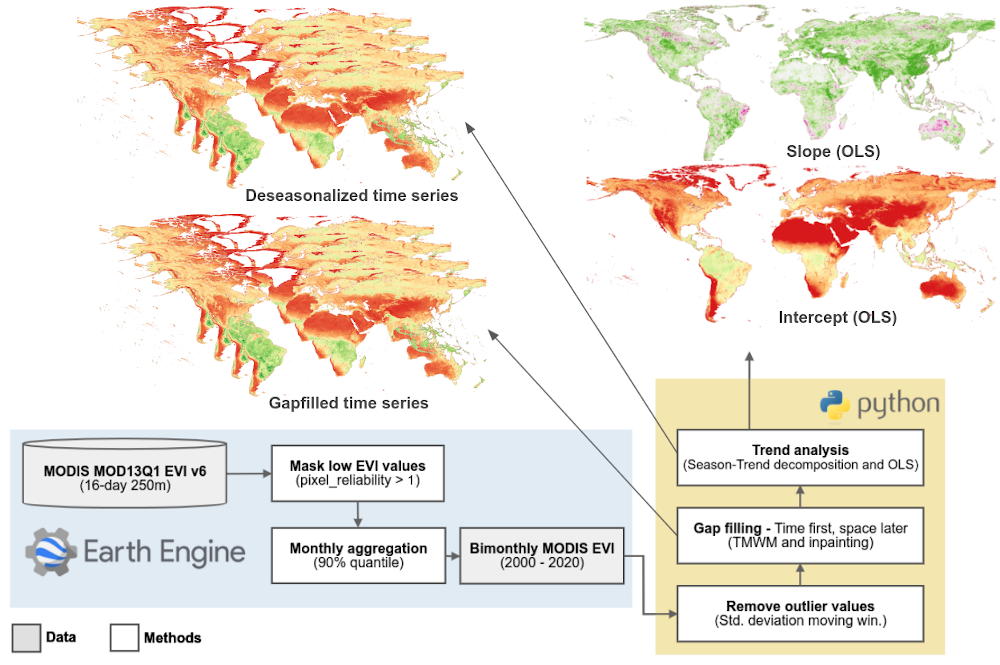
Derived from MCD19A2 v061, this data provides a monthly aggregated mean and standard deviation of daily water vapor time-series data from 2000 to 2022. Only positive non-cloudy pixels were considered valid observations to derive the mean and the standard deviation. The remaining no-data values were filled using the TMWM algorithm. This dataset also includes smoothed mean and standard deviation values using the Whittaker method. The quality assessment layers and the number of valid observations for each month can provide an indication of the reliability of the monthly mean and standard deviation values. - Yearly time-series:
Derived from monthly time-series, this data provides a yearly time-series aggregated statistics of the monthly time-series data. - Long-term data (2000-2022):
Derived from monthly time-series, this data provides long-term aggregated statistics for the whole series of monthly observations.
- For more info about Water Vapor product, see LAADS DAAC
Global coverage, 1km resolution, Cloud Optimized Geotiff, https download
EPSG:4326
Leandro Parente, Rolf Simoes, & Tomislav Hengl. (2023). Monthly aggregated Water Vapor MODIS MCD19A2 (1 km): Long-term data (2000-2022) (Version v20230808) [Data set]. Zenodo. https://doi.org/10.5281/zenodo.8226282
					library(jsonlite)
library(RCurl)
library(terra)
## https://developers.zenodo.org/#authentication
token = scan("~/TOKEN_ACCESS", what = "character")
# deposition list
# deposition_id = "8226282" # Monthly aggregated Water Vapor MODIS MCD19A2 (1 km): Long-term data (2000-2022)
# deposition_id = "8226283" # Monthly aggregated Water Vapor MODIS MCD19A2 (1 km): Monthly time-series (2000-2002)
# deposition_id = "8226284" # Monthly aggregated Water Vapor MODIS MCD19A2 (1 km): Monthly time-series (2003-2005)
# deposition_id = "8226285" # Monthly aggregated Water Vapor MODIS MCD19A2 (1 km): Monthly time-series (2006-2008)
# deposition_id = "8226286" # Monthly aggregated Water Vapor MODIS MCD19A2 (1 km): Monthly time-series (2009-2011)
# deposition_id = "8226288" # Monthly aggregated Water Vapor MODIS MCD19A2 (1 km): Monthly time-series (2012-2014)
# deposition_id = "8226289" # Monthly aggregated Water Vapor MODIS MCD19A2 (1 km): Monthly time-series (2015-2017)
# deposition_id = "8226290" # Monthly aggregated Water Vapor MODIS MCD19A2 (1 km): Monthly time-series (2018-2020)
# deposition_id = "8226291" # Monthly aggregated Water Vapor MODIS MCD19A2 (1 km): Monthly time-series (2021-2022)
# deposition_id = "8226292" # Monthly aggregated Water Vapor MODIS MCD19A2 (1 km): Yearly time-series (2000-2011)
# deposition_id = "8226293" # Monthly aggregated Water Vapor MODIS MCD19A2 (1 km): Yearly time-series (2012-2022)

# Pick one deposition id from above list
deposition_id = "8226282" # Monthly aggregated Water Vapor MODIS MCD19A2 (1 km): Long-term data (2000-2022)

# request deposition metadata
deposition_url = paste0("https://www.zenodo.org/api/deposit/depositions/", deposition_id)
res = GET(deposition_url, add_headers(Accept = "application/json", Authorization = paste("Bearer", token)))
x = content(res)

# Deposition title
print(x$title)
# [1] "Monthly aggregated Water Vapor MODIS MCD19A2 (1 km): Long-term data (2000-2022)"

# Access files
image_url <- x$files[[2]]$links$download
image_tif <- rast(paste0("/vsicurl/", image_url, "?access_token=", token))
image_tif
# class       : SpatRaster
# dimensions  : 17924, 43200, 1  (nrow, ncol, nlyr)
# resolution  : 0.008333333, 0.008333333  (x, y)
# extent      : -180, 180, -61.99666, 87.37  (xmin, xmax, ymin, ymax)
# coord. ref. : lon/lat WGS 84 (EPSG:4326)
# source      : wv_mcd19a2v061.seasconv.m.m01_p25_1km_s_20000101_20221231_go_epsg.4326_v20230619.tif?access_token=fA2zvScoqZstX0vxNQ0XDPZKoNGhyNS45dXM3ex9kmfj4uywgS3ytQdo5Jar
# varname     : wv_mcd19a2v061.seasconv.m.m01_p25_1km_s_20000101_20221231_go_epsg.4326_v20230619
# name        : wv_mcd19a2v061.seasconv.m.m01_~0221231_go_epsg.4326_v20230619

length(x$files)
# [1] 97
Post Views: 401


