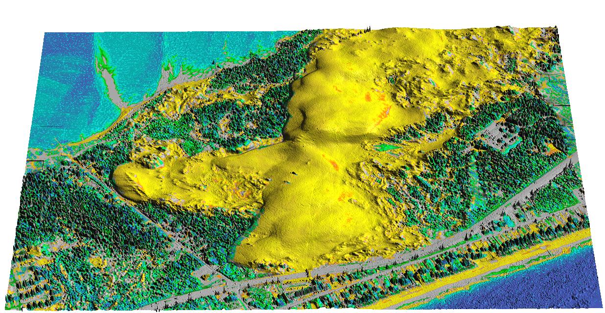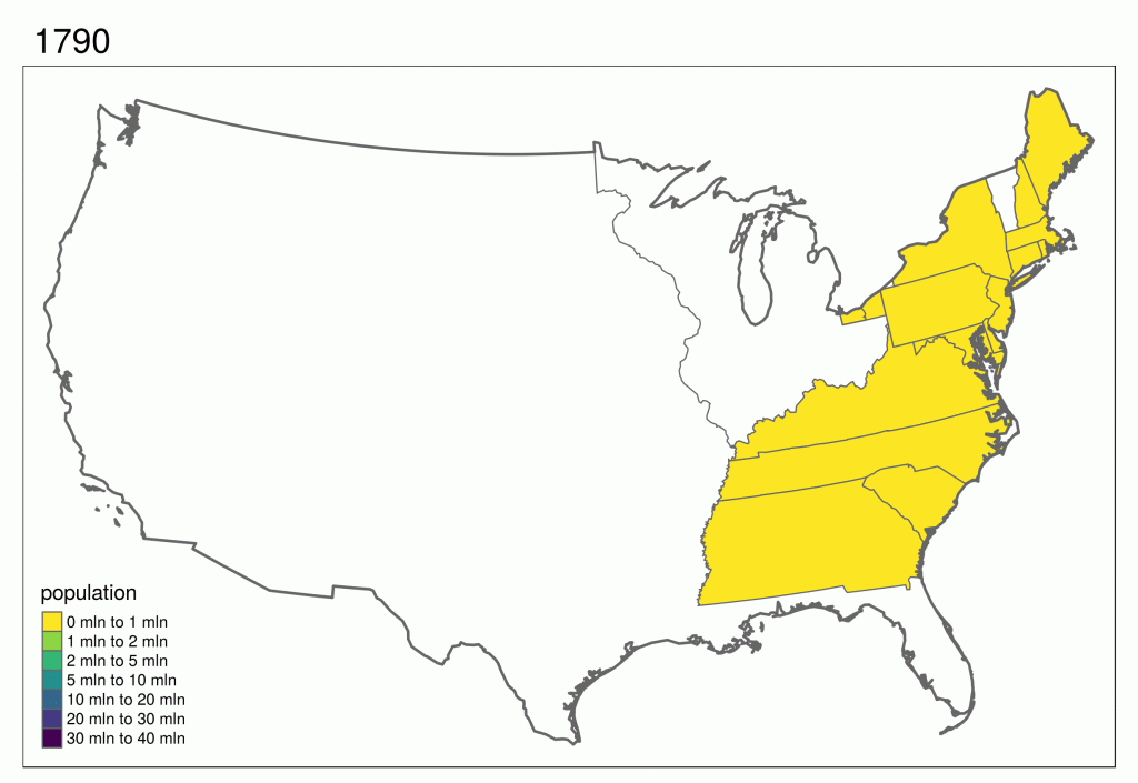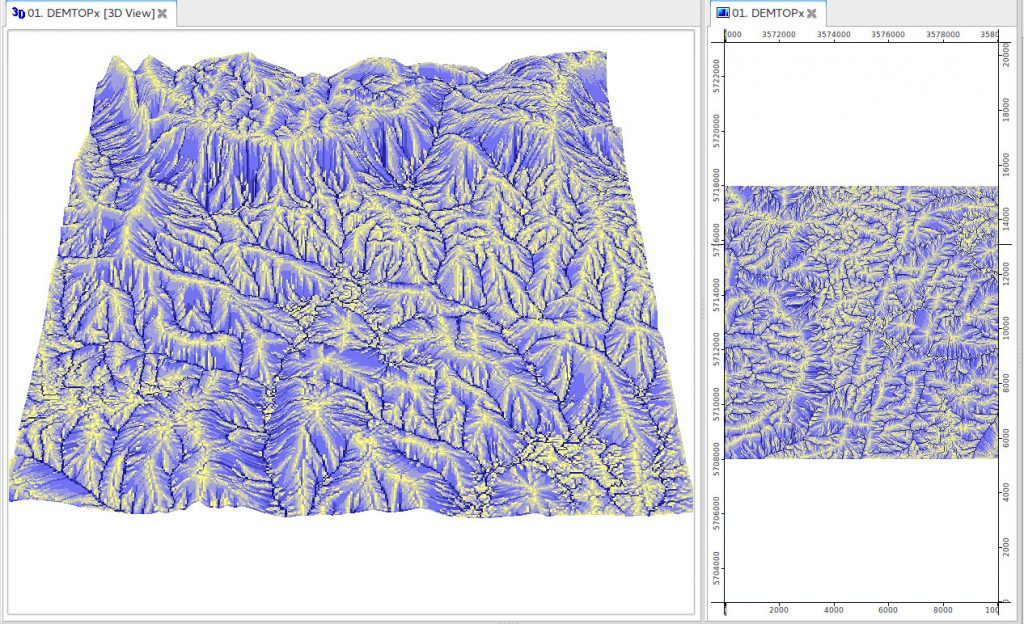
GRASS GIS is a general purpose Free and Open Source geographic information system (GIS) that offers raster, 3D raster and vector data processing support. Since the initial release of the version 7, in February 2015, GRASS GIS has also oficially incorporated a powerful support for time series (TGRASS). Through this, GRASS GIS became the first open source temporal GIS with comprehensive spatio-temporal analysis, processing and visualization capabilities. This functionality makes it easy to manage, analyse and visualize for example climatic data, vegetation index time series, harvest data or landuse changes over time.
Literature:
- First time Users of GRASS!
- M. Neteler, H. Mitasova, 2004. Open Source GIS: A GRASS GIS Approach. Second Edition. 424 pages, Kluwer Academic Publishers, Boston, Dordrecht, ISBN 1-4020-8064-6 (Also published as eBook, ISBN 1-4020-8065-4).
COURSE FEATURES
Video lessons
4 case studies
Spatiotemporal data
LESSONS
Spatiotemporal data processing and visualization in GRASS GIS
In this tutorial we will go through the creation of time series (stds) and registration of maps, temporal algebra, temporal aggregation, queries and statistics, as well as different visualizations. The tutorial is hosted here: https://gitlab.com/veroandreo/grass-gis-geostat-2018
Software requirements:
GRASS GIS 7.4
Data that will be used:
North Carolina full dataset
modis_lst mapset


