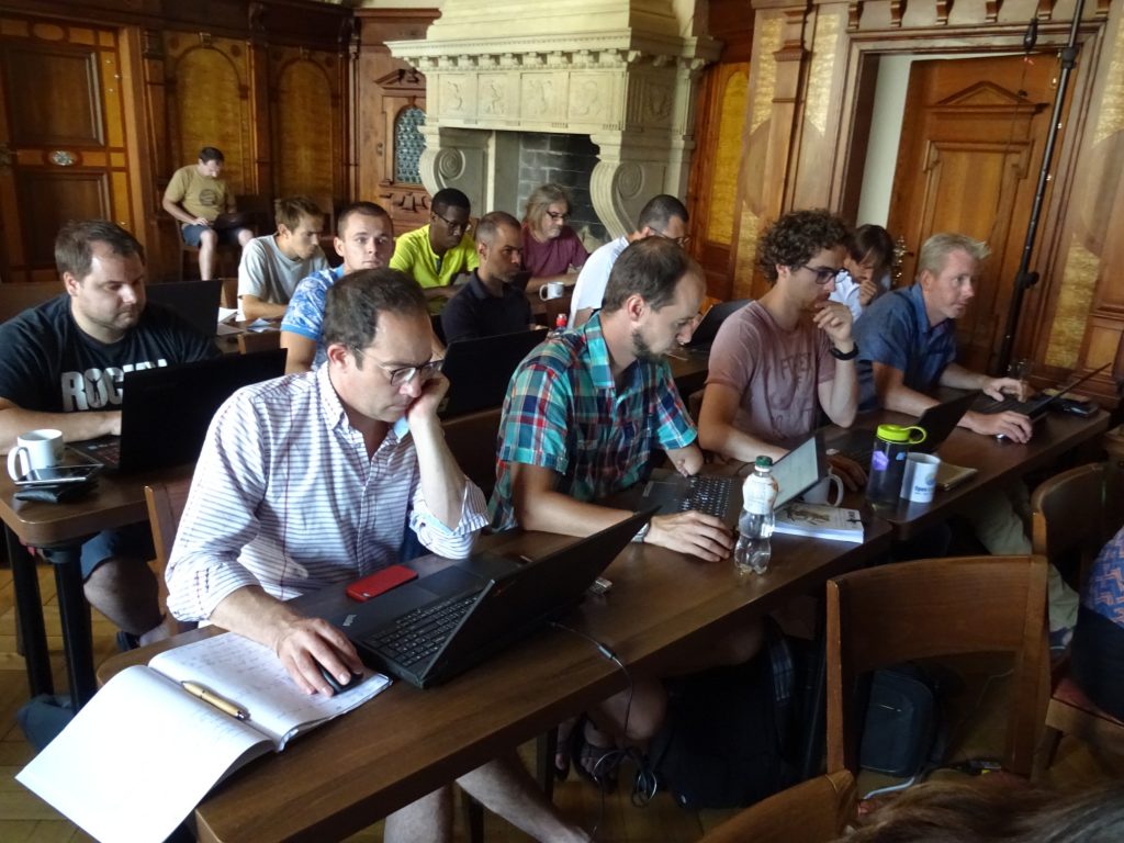
Background
Purpose of the OpenGeoHub Spatial Prediction Competition Game (the OpenGeoHub hackaton; former GEOSTAT hackatons) is to provide an opportunity to students to use all obtained knowledge during the course for solving a real-life problems. This typically implies producing predictions for a given data set (not previously published). It is the ultimate test of your coding and GEOgraphy-STATistics skills. The winners are announced on the last day of the Summer School and symbolic awards are given… and of course stay famous forever!
Standard rules
OpenGeoHub Spatial Prediction Competition Game follows some standard minimum rules:
- The winner is decided purely by numbers. Usually the smallest RMSE at validation points i.e. who ever generates predictions closest to the actual values.
- The Game opens on Monday and closes on Friday. The deadlines are followed strickly (in seconds).
- Only participants of the active OpenGeoHub Summer School (including the lecturers) can participate.
- The Game participants have complete freedom to use any information and/or method they can find to generate predictions at validation points (they should, however, be able to reproduce the results in front of the class, including the steps used to prepare the data).
- The validation and training data sets are usually about the same size.
- Participants can compete individually, or in in group of 2 max (in which case the winning group will split the award).
- The award includes: a cheque to obtain books on Amazon + photograph on the website (i.e. the eternal fame).
Previous winners
OpenGeoHub 2019 Munster
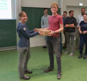
Best predictions: Henning_Teickner |
OpenGeoHub 2018 Prague
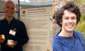
Best predictions: Timo Breure and Florian Schneider (R tutorial) |
GEOSTAT 2017 Split
Best predictions: Barry Rowlingson | 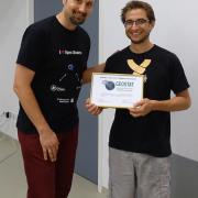
Mapping / visualization: Carl Reynolds |
GEOSTAT 2016 Albacete

Best predictions: Jose Antonio Vazquez Moris & Alzira Ramos | 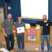
Mapping / visualization: Antonio Jesus Pérez-Luque |
GEOSTAT 2015 Lancaster

Best predictions: Jean Gaudart | 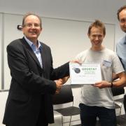
Mapping / visualization: Robin Lovelace |
GEOSTAT 2014 Bergen

Best predictions: Hanna Meyer |

