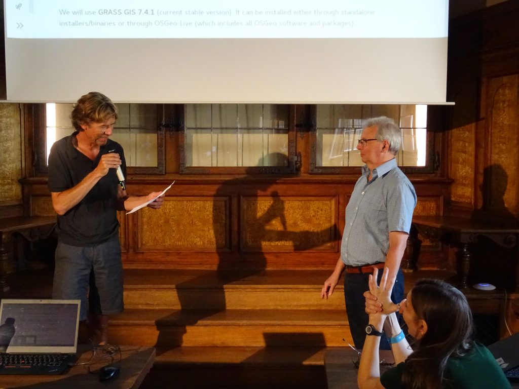
I came to know Roger around the year 2000, through emails he posted to ai-geostats, an email list started by Gregoire Dubois from JRC, which was a place to discuss analysis of spatial data — whether geostatistical, lattice or point pattern — involving both methodological and practical, software aspects. In 2003, Roger contacted me by direct email asking whether I’d be interested to join a pre-conference workshop held at DSC2003, the conference series that later spun off the UseR! conferences, where the topic was a collaborative effort between open source R and GIS developers to make spatial analysis with R work better. Here, Roger brought up the idea of a common set of classes and methods for spatial data in R, to act as a bridge and be reused by I/O, GIS and analysis packages. I immediately saw the potential benefits of that, took up that challenge, and this resulted in the “sp”, the first version of which was released on CRAN two years later. For this, Roger mostly wrote the Lines and Polygons parts, where I did points and grids, and Roger also pulled the “rgdal” and “rgeos” packages. But these are all just software contributions (where it is worth mentioning that “rgdal” is one of the most complex pieces of software of the 13000 packages on CRAN, from the perspective of maintenance). Roger’s more significant contribution to r-spatial involved setting up and administering the email list r-sig-geo, which is:
“A mailing list for discussing the development and use of R functions and packages for handling and analysis of spatial, and particularly geographical data. The list also covers mapping and cartographic issues, and interfaces between R and geographical information systems.”
The mailing list started on 9 July 2003, when in the first message Hisaji Ono asked about the availability of the R package DCluster, answered in the second message (three months later) by Virgilio and revealing the place of the package source code. At the end of the same month, there was an email from me asking for a package called “SpatialCls”, a forerunner to “sp”.
The main thing I learned over the years from Roger is the value of maintaining a community. It starts with recognizing and encouraging the submission of good questions. Good questions take time, and are usually rewarded by good answers. Roger has continuously set very high standards for investigating questions and formulating answers.
I have often wondered for myself, and in general, why one would answer questions from people you’ve never met. What does it benefit beyond solving the questioners problem? But doing this on public fora like mailing list (and now often via github repository issues or stack overflow) documents the status quo and contributes to a shared understanding of problems and their solutions. Roger has set a standard by treating his own, known students and unknown mailing list members alike, and paying respect to anyone who is brave enough to publicly bring up a good question.
Maarten de Rijke, an information retrieval professor writing on Open Science recently said: “If you are in academia, share your publications, share your teaching materials, share your code, share your data, share your time.” It is the “share your time” bit that is most often the hardest, for all of us. Roger, by doing this consistently you have been a model open scientist (avant la lettre), for as long as I have known you.
Roger, on behalf of all other members of R-sig-geo and R-spatial, and also on behalf of myself, I would like to thank you for being example and a great teacher over so many years. We can only hope for many more years of contributions from you to come.

