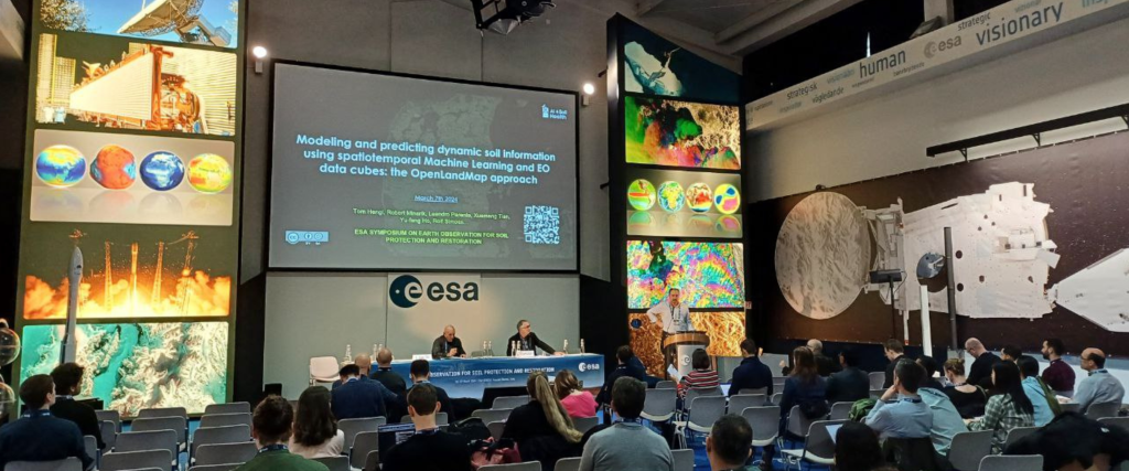
From February 2nd to 14th, 2024, researchers, students, scientists, and technology enthusiasts were invited to develop innovative models for predicting SOC density in space and time and to develop practical solutions to map the occurrence of soil erosion. After 10 days of challenge on Kaggle, Ayomide Oraegbu and Joshua Sundance Bailey were awarded first place, and given the chance to present their results at the ESA Symposium on EO 4 Soil Protection and Restoration at ESA-ESRIN center, Frascati, Italy.
The challenges
#1 ESA EO4SoilProtection 2024: Predicting SOC Density
Soil Organic Carbon (SOC) is a vital indicator of soil health, affecting fertility and carbon sequestration. In this hackathon, participants are invited to develop innovative models for predicting SOC density in space and time.
Ayomide Oraegbu is currently a Master’s student in Geospatial Technologies at Jaume 1 University, building upon my background in Remote Sensing and Geoscience Information Systems from his undergraduate studies.
With four years of experience as a Data Scientist, I'm passionate about leveraging my skills to bridge the worlds of machine learning and AI with Earth Observation data, aiming to address complex challenges and contribute to innovative solutions.
Ayomide Oraegbu
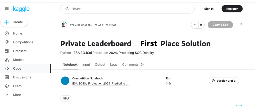
The winner of the SOC Density prediction challenge, Ayomide put an effort into feature engineering to derive relevant soil covariates. He focused on the Z (depth) dimension of the SOC distribution. This effort together with applying xgboost regressor resulted in low RMSE in the external validation. You can see the code here.
#2 ESA EO4SoilProtection 2024: Predicting Erosion Cat
Soil erosion poses a significant threat to environmental stability, impacting food security and ecosystem health. This hackathon focused on developing practical solutions that utilize open Earth Observation (EO) data provided by ESA and other leading space agencies to help map occurrence of gully erosion at detailed spatial resolution.
Joshua Sundance Bailey is a Senior Data Scientist at SWCA Environmental Consultants. You can visit his Github page here.
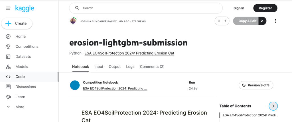
The winner of the Erosion Cat prediction challenge, Joshua implemented a simple but appropriate approach to handling class imbalance using the lightgbm model. Handling class imbalance and implementing early stopping resulted in a non-overfitted generalized model performing well on external validation. You can see the code here.
Additional Information
About the challenges:
These two hackathon events were hosted by the OpenGeoHub Foundation in collaboration with the European Space Agency (ESA) as part of the ESA Symposium on EO 4 Soil Protection and Restoration 6–7 March 2024 at ESA-ESRIN center, Frascati, Italy! The European Space Agency (ESA), along with EO research communities, recognizes the urgency of improving monitoring systems for soil health. These hackathons aimed at uniting researchers, students, scientists, and technology enthusiasts to address these challenges using open-source remote sensing data and legacy soil data.
About the selection process:
In the first round, the top 5 best performing computational notebooks from the private leaderboard were evaluated by the committee. In the second round, the committee invited two selected teams from five to present their solution to the committee to select the winner. The two teams and the winners were selected based on evaluating originality of the computational notebooks.
Acknowledgements:


