Importance of iSDAsoil
More than 475 million out of 570 million farms in the world are smaller than 2 hectares. A substantial amount of them is situated in Africa where small-scale farming remains particularly common. Many of these farmers lack access to the information necessary to make sustainable farming decisions. This is true in part because most agricultural research publications don’t offer any applicable solutions or useful soil information for smallholders. What’s more, until now, soil science research has struggled to generalize solutions for effective soil management. While some recommendations may work in one place, they may not work in another.
However, understanding soils and their composition is crucial to advancing sustainability and economic feasibility of agricultural practices as it determines which crops farmers will be able to grow on their land and how well they will grow. This is why OpenGeoHub, in a joint effort with EnvirometriX, GiLAB and MultiOne, has helped to create iSDAsoil — an open data high spatial resolution soil information service for Africa. The project is led by iSDA, a social enterprise founded by Rothamsted Research, the World Agroforestry (ICRAF) and the International Institute of Tropical Agriculture (IITA).
Soil property and nutrient maps at unprecedented level of detail
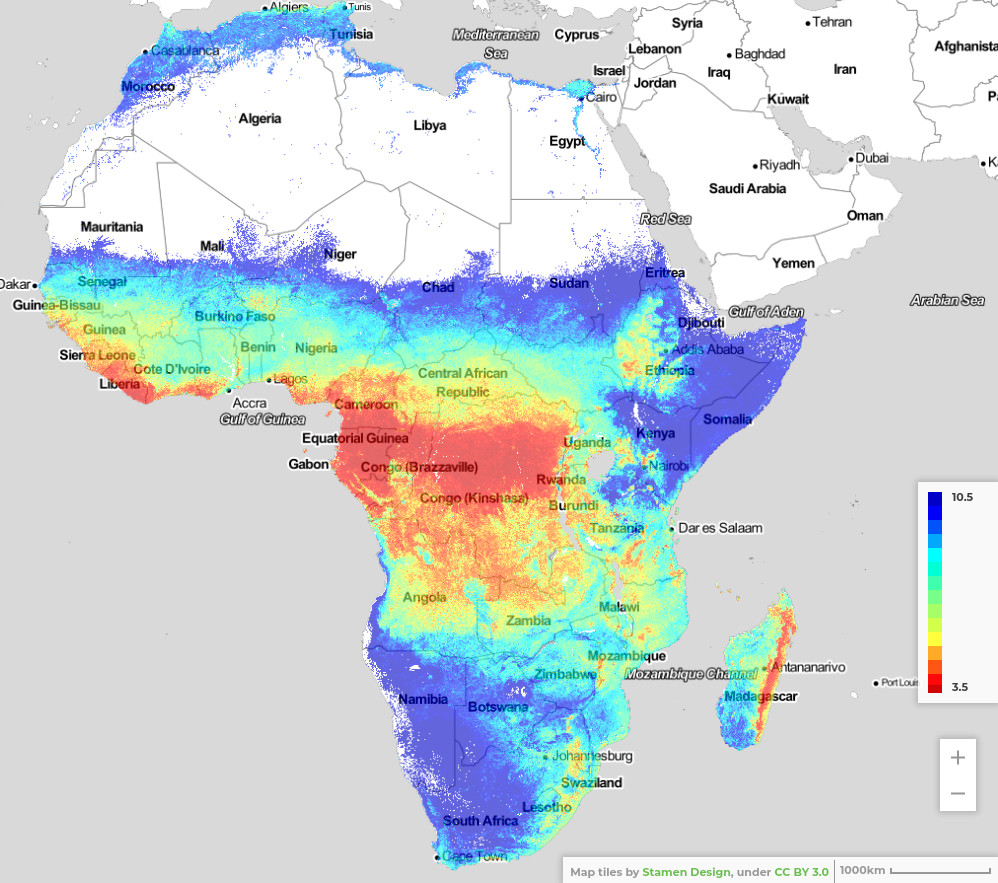
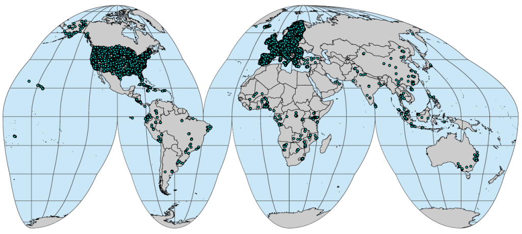
Building on the legacy of the Africa Soil Information Services (AfSIS) project to create financially sustainable agronomy solutions for smallholder farmers, iSDAsoil provides farmers and scientists alike with insights into soil properties and nutrients mapped at 30 m spatial resolution for two standard depth intervals (0–20 cm and 20–50 cm). This fine resolution service can effectively capture the variation observable at a local or field level and thus, information, analysis, and advice drawn from it can greatly assist in closing knowledge gaps about local soil composition. Farmers will now know the distribution of soil pH levels in their plots for instance which in turn will inform them whether the land can host only a limited range of either acidity-liking or lime-loving plants respectively, or whether more neutral pH values allow for a greater variety of crops to be grown. Aside from soil pH, iSDAsoil also provides variables for organic carbon (C) and total (organic) nitrogen (N), total carbon, extractable — phosphorus (P), potassium (K), calcium (Ca), magnesium (Mg), sulfur (S), sodium (Na), iron (Fe), zinc (Zn), silt, clay and sand, bulk density and depth to bedrock. Composition predictions were generated using two-scale Ensemble Machine Learning, a combination of Sentinel-2, Landsat, DEM derivatives and coarse resolution covariates (MODIS, PROBA-V), and over 100,000 soil sampling training points. In other words, multiple machine learning algorithms were employed together with analysis of a host of high resolution satellite images and variables stemming from 100,000 soil field samples to enhance the accuracy and precision of soil data predictions.
Data access
The resulting soil property maps are available under an Open Data license CC-BY 4.0 via zenodo.org while iSDAsoil data can also be accessed through a REST API.
If you are a soil data producer or aware of soil samples or soil profiles collected within the African continent that could be used for predictive soil mapping, then please help us improve and quality-control these predictions so we can increase the data usability in the next update. If you are interested in using iSDAsoil tools, services or products for agribusiness or smallholder farmers, please contact iSDA.
To learn more about this project, read this Medium article or visit the iSDA soil Technical Information and FAQs pages.


