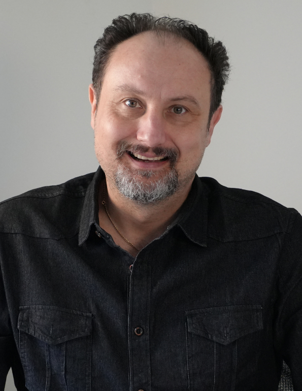
Dr. Tomislav Hengl
Tom is the Co-founder of OpenGeoHub foundation. He is directly responsible for the Summer school courses, which since 2007 have provided leading edge training, directed primarily at postgraduate students and early career scientists, in the use of Open Source Software tools (R / OSGeo) for spatial statistics and spatial analysis.
Tom has more than 20 years of experience as an environmental modeler, data scientist and spatial analyst. Tom has a background in soil mapping and geo-information science. He continuously runs hands-on-R training courses to promote use of Open Source software for spatial analysis / spatial modeling purposes. He is currently the project leader of the OpenLandMap — a system for automated global soil and vegetation mapping at fine spatial resolutions (100 m, 250 m to 1 km) and which aspires to be recognized as an “OpenStreetMap-type” system for environmental data. Tom’s core core philosophy is outlined in this document (see also our Medium article on OpenLandMap.org). Tom is recipient of the Clarivate Highly Cited Researchers for 2021.
Tom is also technical Director and senior researcher at Envirometrix BV.
At OpenGeoHub, Tom leads method development, supervision of PhD students, installation of server facilities, development of data sets and providing technical support.
- Post-doc, IBED / University of Amsterdam (Ecology / biodiversity)
- Post-doc, JRC European Commission (Soil science / Pedometrics)
- PhD, ITC / Wageningen University (Geoinformation science)
- MSc, ITC Enschede (Soil Resource Management)
- 2018–present: Vice-Chair OpenGeoHub Foundation
- 2018–present: EnvirometriX Ltd., Netherlands.
- 2010–2018: Senior researcher, Wageningen University / ISRIC, Netherlands.
- 2007–2010: Post-doctoral researcher, University of Amsterdam, Netherlands.
- 2005–2007: Post-doctoral researcher, European Commission JRC, Italy.
- 1998–2005: PhD student / Ass Professor, Croatia / Netherlands.

