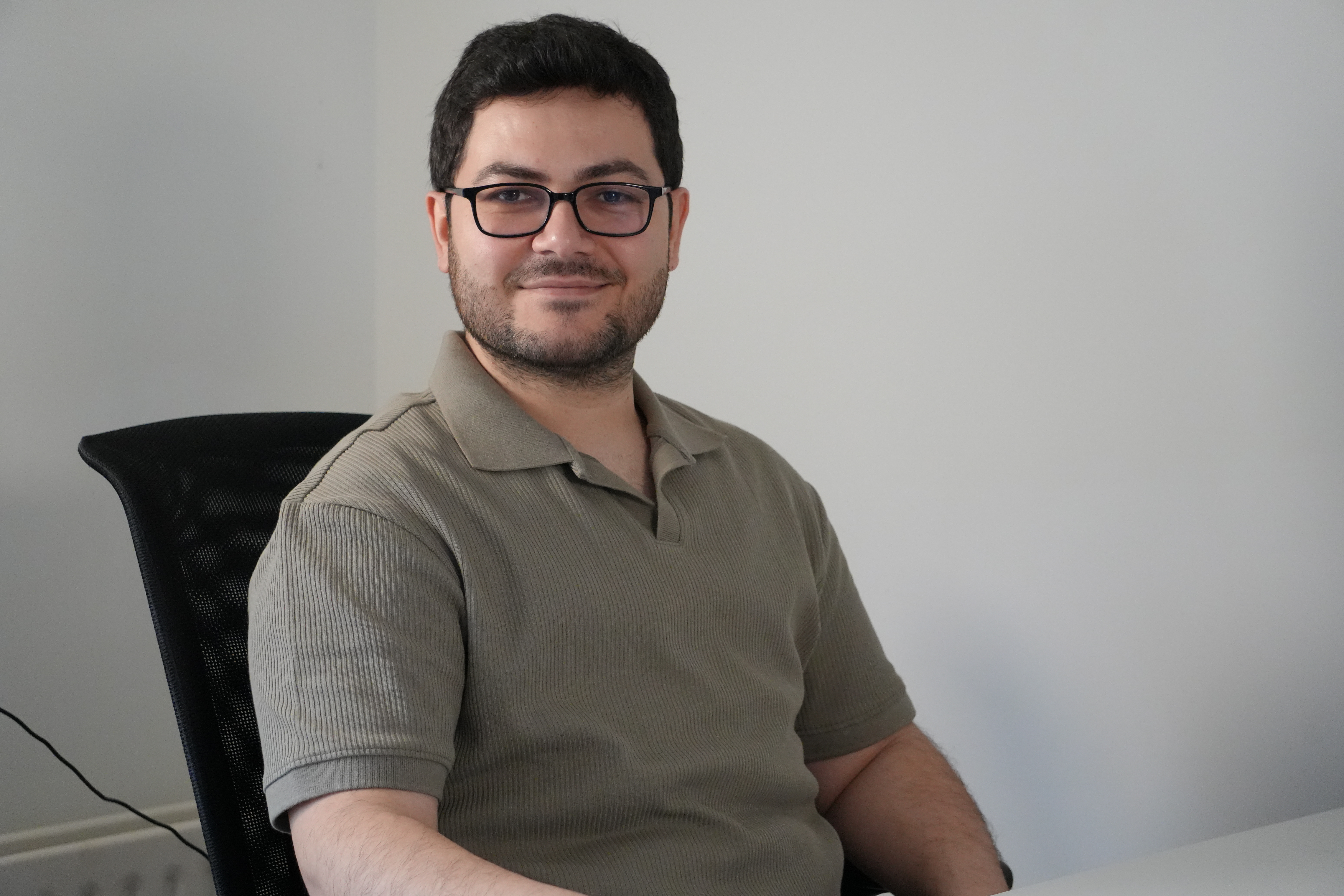
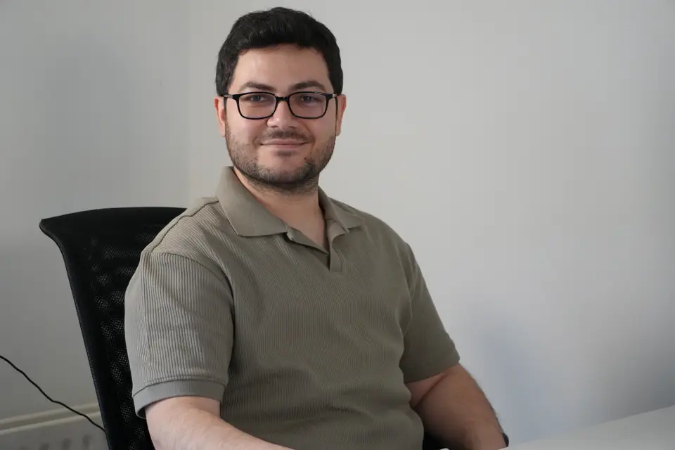
Mustafa Serkan Isik
Senior Researcher · Geospatial Modeling & Geomatics
At OpenGeoHub, Serkan supports current and future high profile European Commission-funded and other international projects where there is a need to develop new solutions for geocomputing, optimizing and automating modeling frameworks and publishing scientific outputs. He is in charge of monitoring land degradation and mapping land potential using time-series earth observation data.
His key responsibilities include and not limited to:
time-series analysis of earth observation data
developing land degradation and land potential modeling frameworks
modeling Gross Primary Productivity, dynamics in canopy height, estimating gaps between potential and actual ecosystems
building models using machine learning and statistics methods
analyzing satellite data and visualization