Science & Research
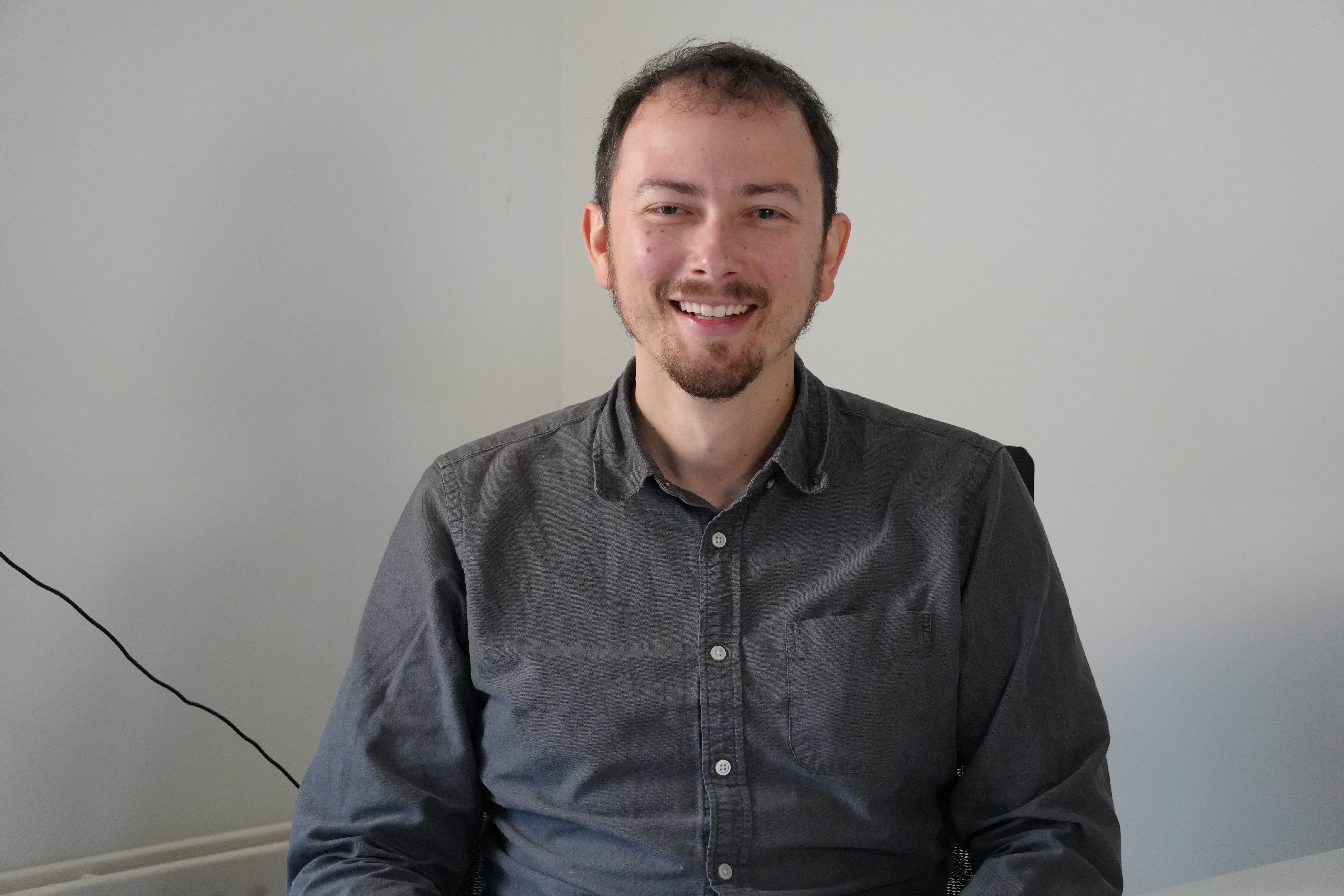
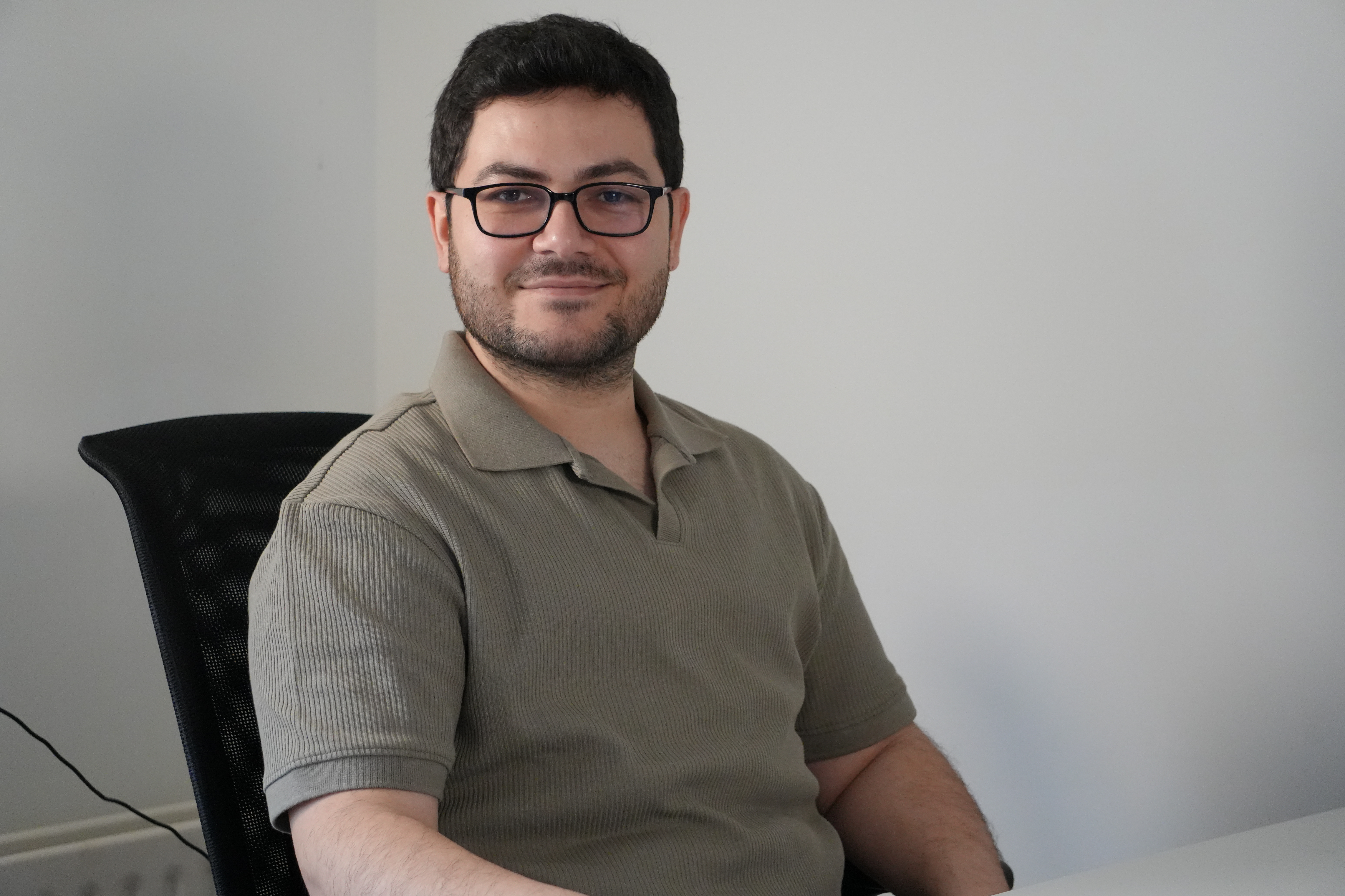
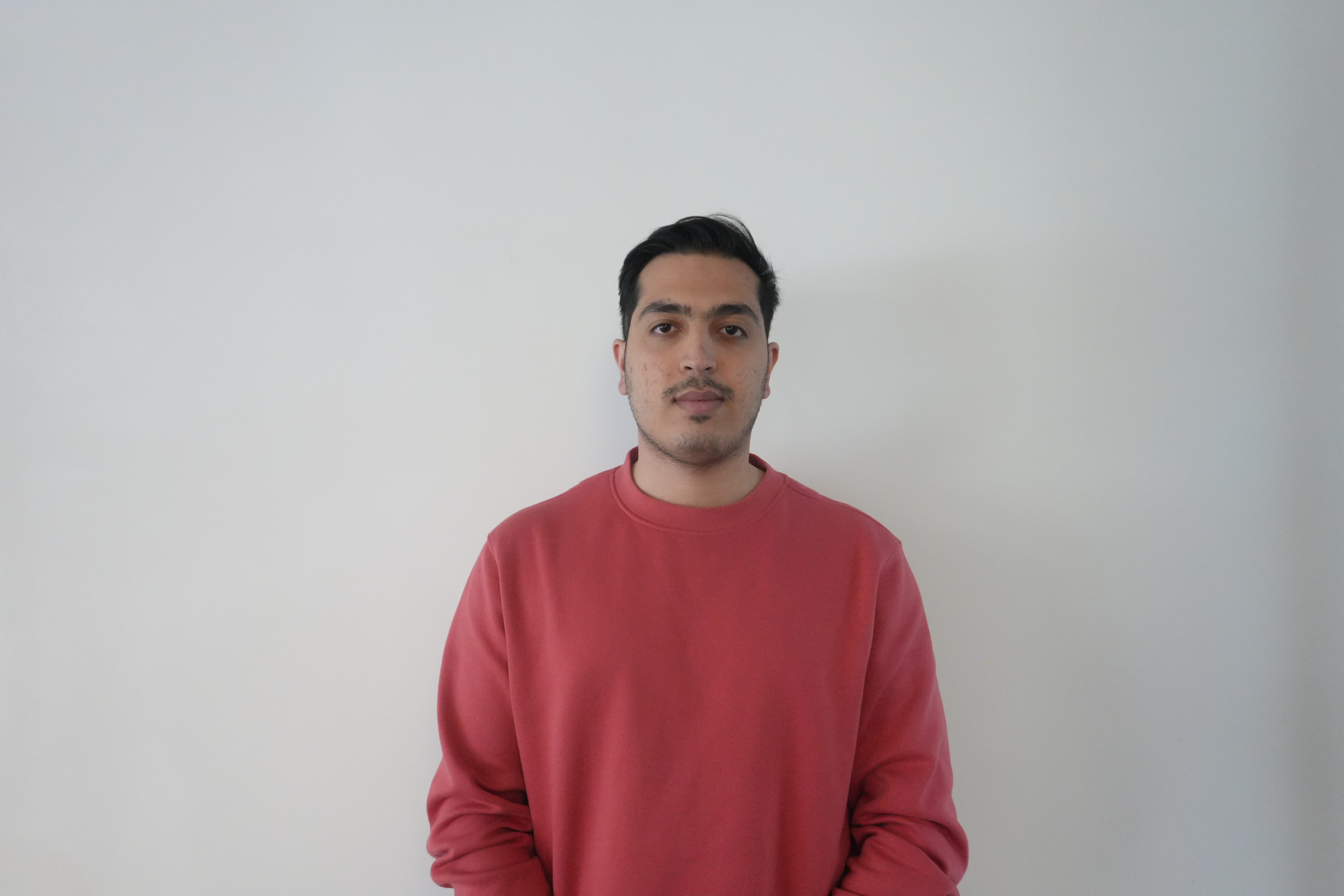
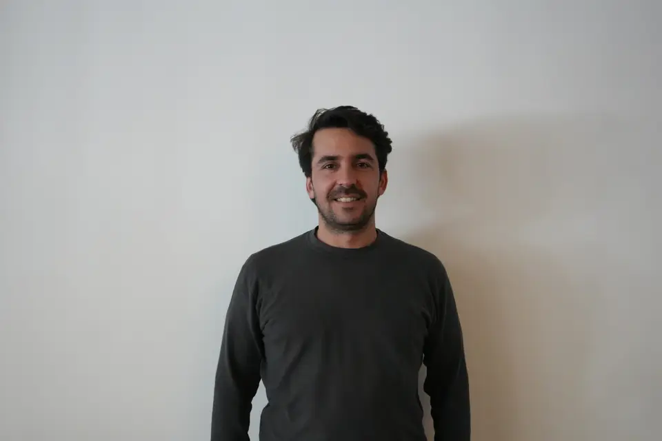
Mehmet Furkan Celik
Post-doctoral Researcher · Geospatial Modeling
Mehmet Furkan Çelik is a geospatial data scientist and remote sensing researcher. He received the Ph.D. degree in Geomatics Engineering from Istanbul Technical University, Istanbul, Türkiye, in 2023. His work focuses on large-scale geospatial data analysis, satellite remote sensing, and machine learning, particularly the multimodal and multitemporal analysis of radar and optical Earth observation data. His research interests include geospatial machine learning, land use and land cover mapping, crop type mapping, field boundary extraction, crop phenology monitoring, crop stress detection, and explainable AI for agricultural and environmental applications.