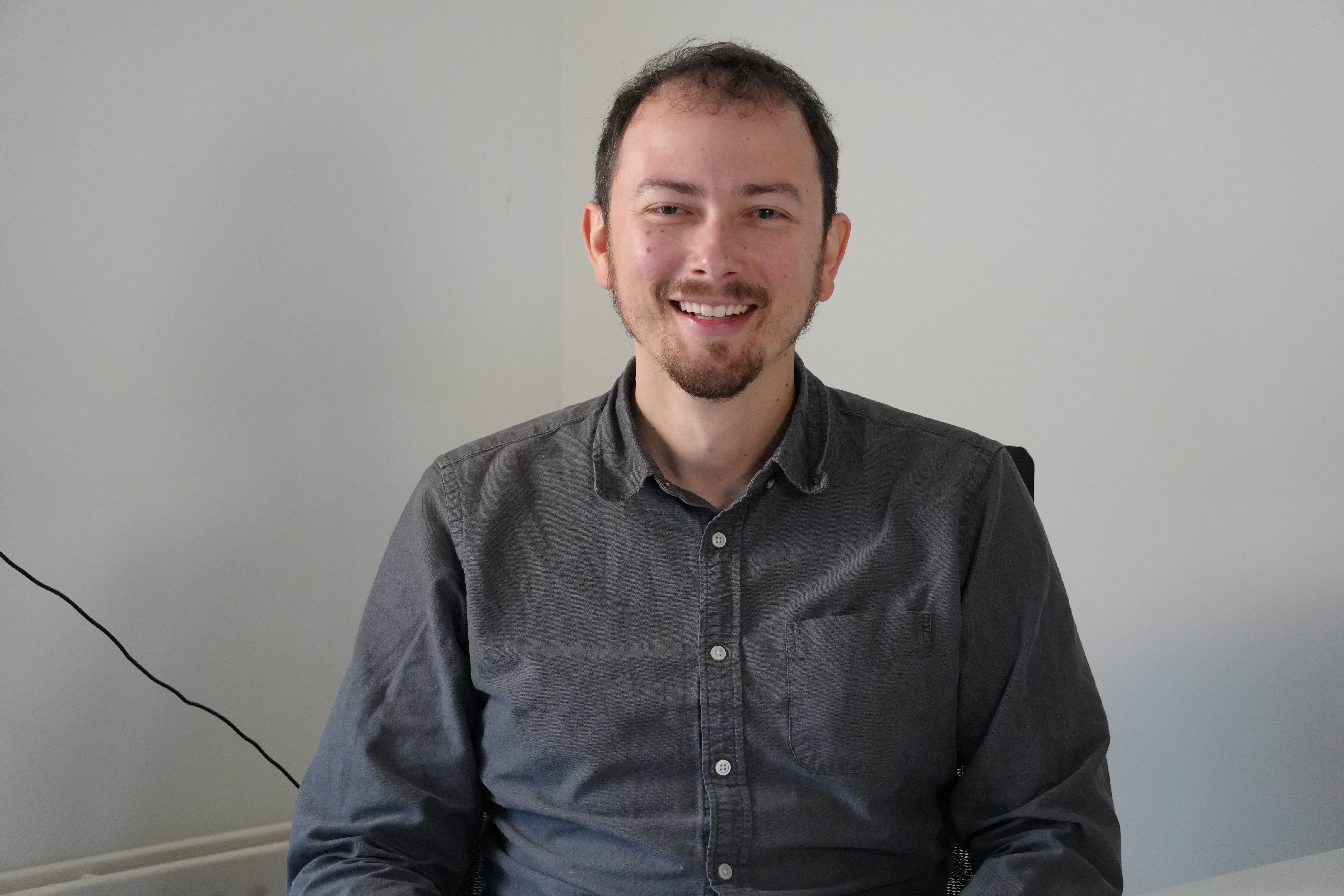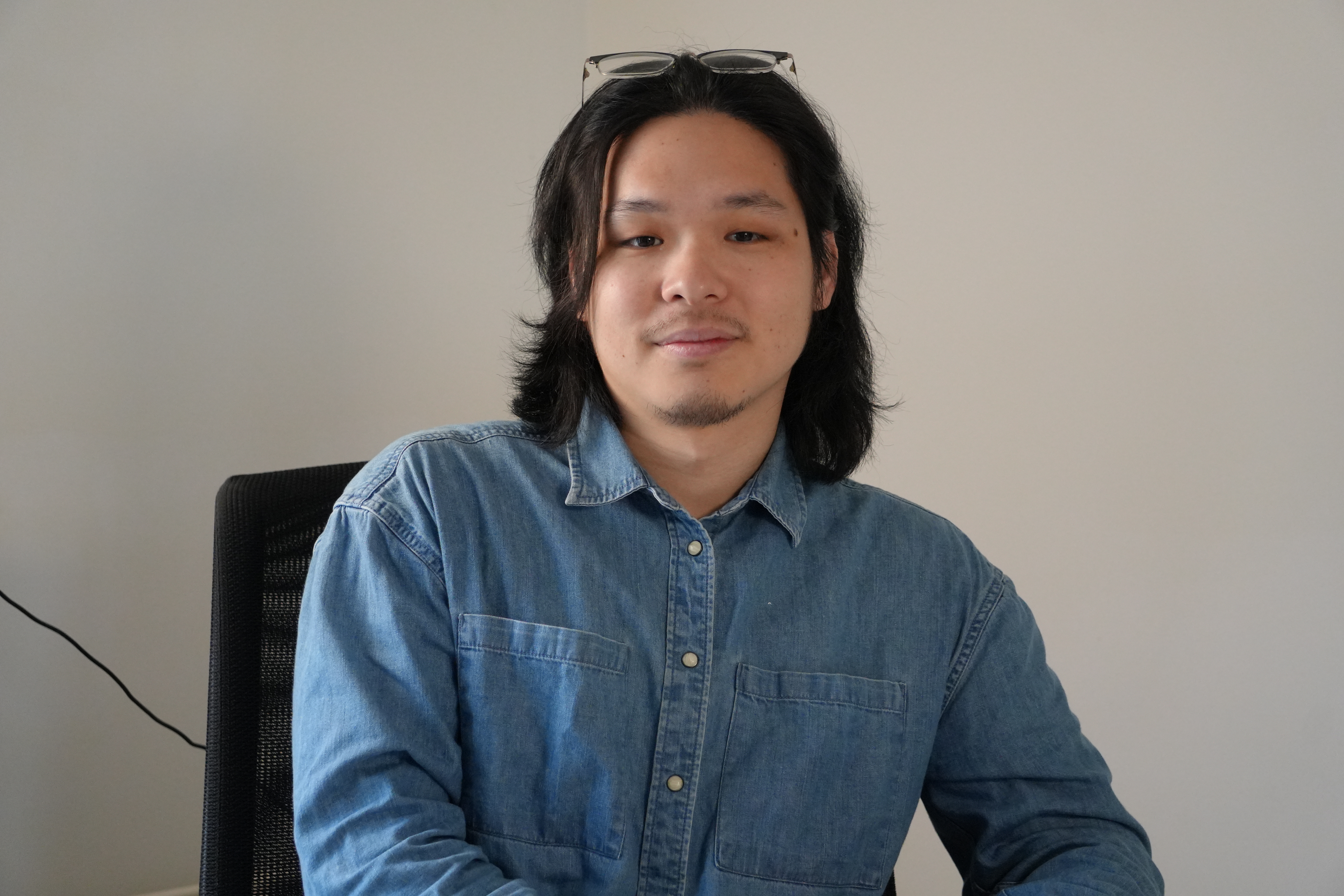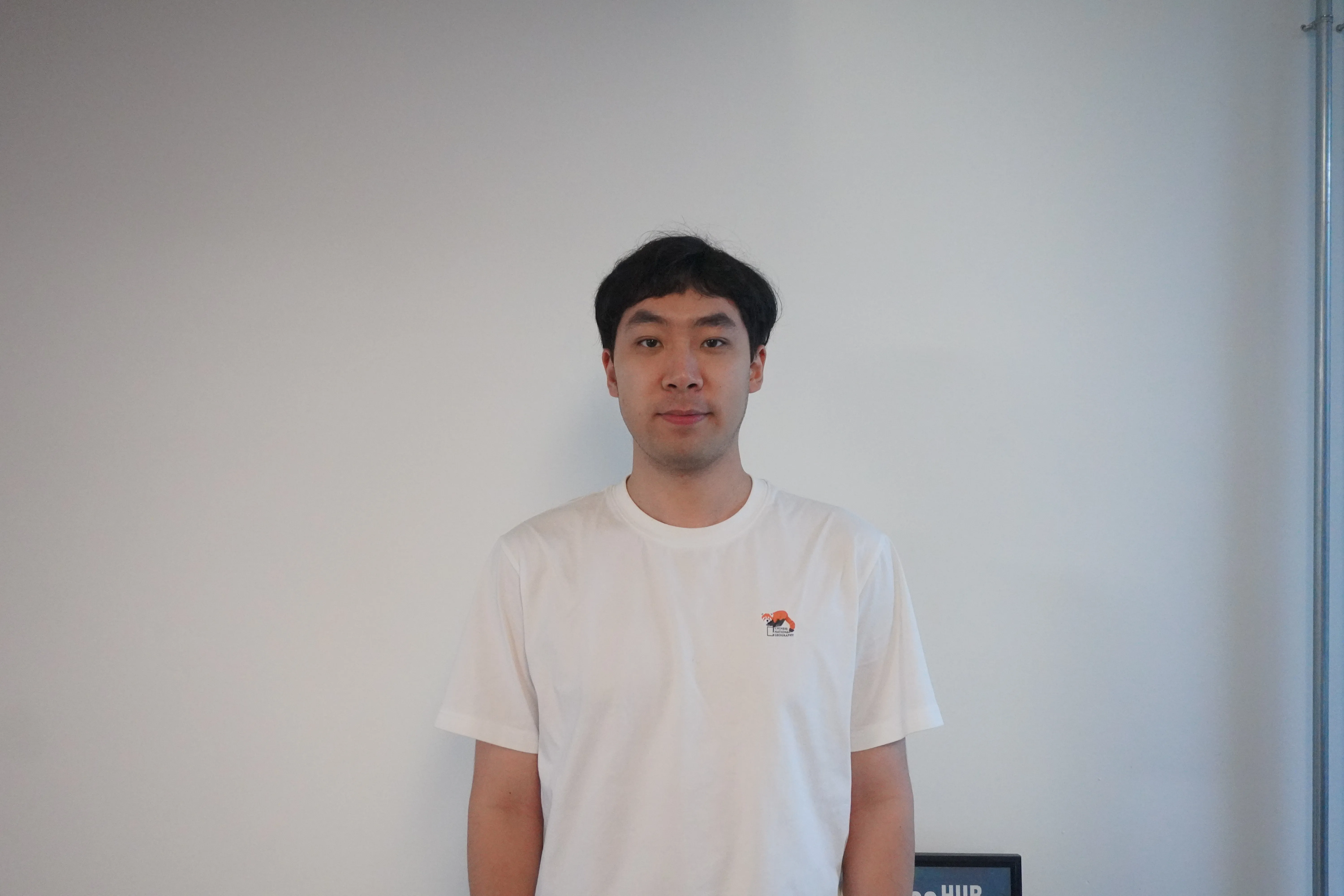
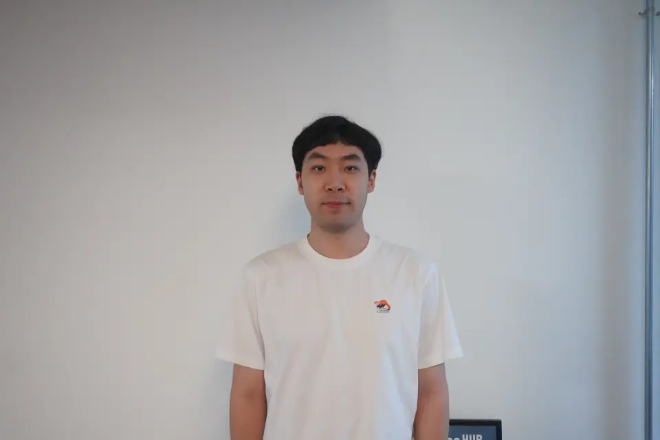
Dong Liang
Research Assistant · PhD Candidate
At OpenGeoHub, he is responsible for preparing and processing geo-spatial and spatiotemporal data. He has a background in GIS and remote sensing, specifically in UAV-scale and satellite-scale optical remote sensing and machine learning applications. His main research interests are focused on hybrid modelling integrating process-based soil carbon modelling with machine learning for pan-EU carbon storage potential forecast.
His responsibilities include, and are not limited to:
Processing and harmonising large-scale spatiotemporal datasets, using Earth Observation data.
Developing hybrid modelling frameworks that couple process-based soil simulations with advanced machine learning algorithms.
Forecasting pan-EU carbon storage potential to support climate mitigation strategies and land-use decision-making.
Building reproducible workflows for data ingestion, feature engineering, and uncertainty quantification in spatial predictions.
Contributing to open science by generating open-source code, high-resolution maps/data, and scientific publications.
Dong Liang received the M.Sc. degree in Geo-Information Science from Wageningen University and Research, Wageningen, The Netherlands, in 2025. He is currently pursuing a PhD degree with the Department of Physical Geography, Utrecht University and OpenGeoHub Foundation, Wageningen, The Netherlands.