R has increasing functionality for analyzing spatial data, but so has GRASS GIS, QGIS and/or SAGA GIS. This course explains how to use GIS software from within R for statistical geocomputing.
Read More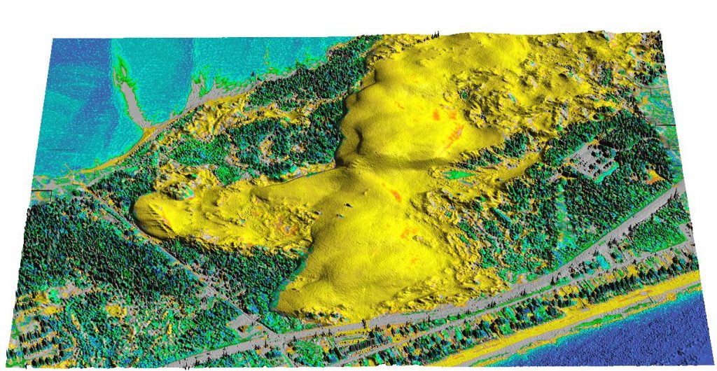
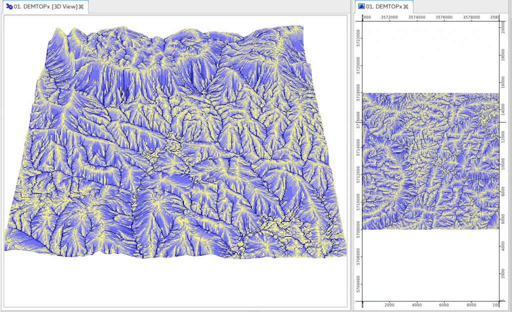
GRASS GIS is a general purpose Free and Open Source geographic information system (GIS) that offers raster, 3D raster and vector data processing support
Read More