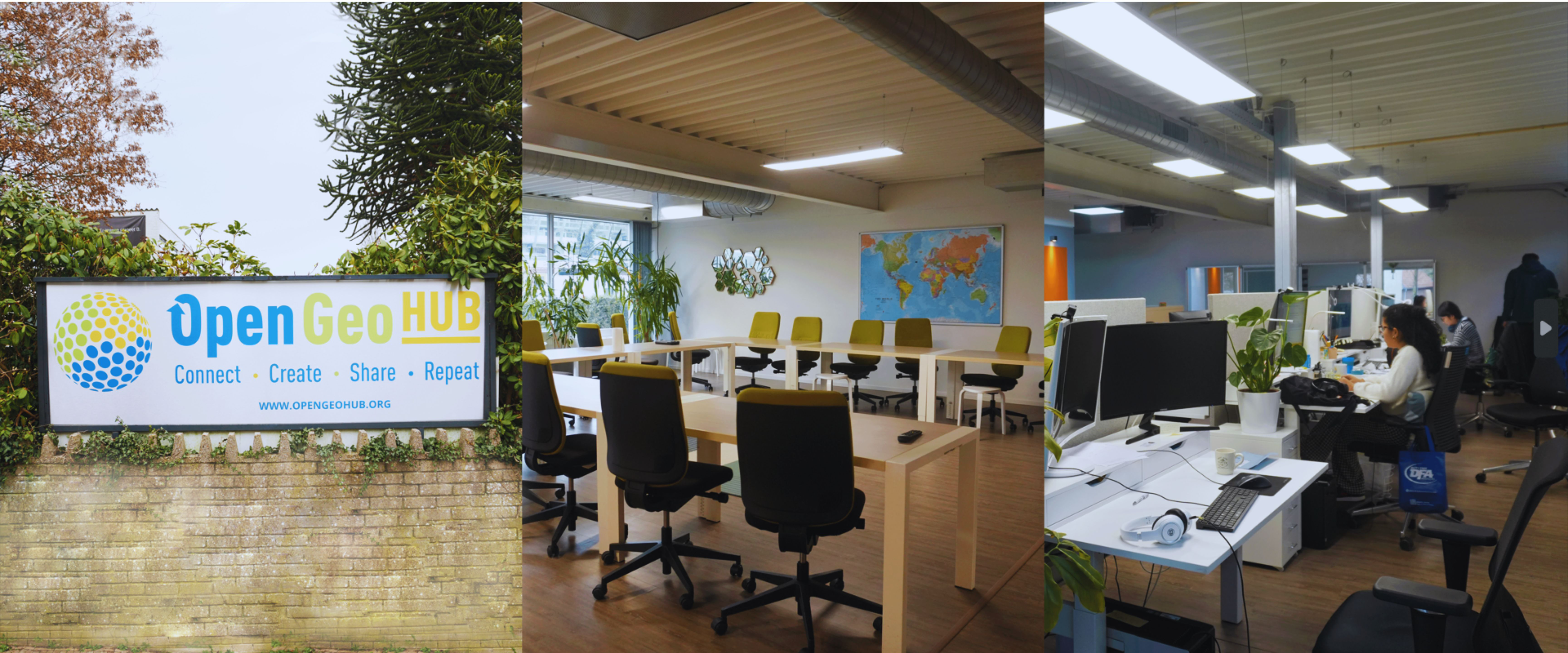
We are an independent not-for-profit research foundation promoting Open Source and Open Data solutions. We provide solutions & training in cutting-edge open geospatial data & services. Our expertise lies in combining remote sensing with ground data for monitoring essential biodiversity variables at scale. We strive for a greener and fairer planet.
Pastures and rangelands are the single most extensive land use on Earth and we need to understand the productivity of these areas and how they are changing over time to meet global climate goals. Yet these areas rarely have dedicated monitoring efforts and there is currently no good understanding of their location, area, and condition.
A new Land & Carbon Lab research consortium, Global Pasture Watch, aims to produce recurrent and high-resolution (30-meters) maps for pasture areas and productivity from 2000 onwards.
The project uses ensemble machine learning algorithms, visual interpretations, crowdsourcing, and earth observation data fusion to produce per-pixel probabilities of land use and land cover, livestock density, short vegetation height, and gross primary productivity (GPP).
OpenGeoHub is privileged to lead the Open-Earth-Monitor consortium, a group of 21 organizations focused on accelerating the uptake of key environmental data by a diverse community of users in the field of research, decision-making, and practitioners, including landholders and citizens, in support of effective decisions and impactful actions on the ground.
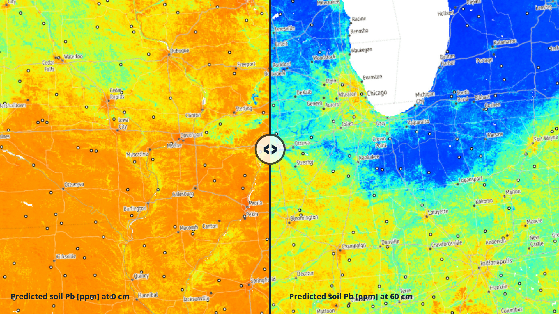
We are contributing to open platforms through ML-based maps of environmental and climatic variables to support decision-making and geospatial research.
OPEN SOURCE SOLUTIONS ENABLE OPEN
DEVELOPMENT COMMUNITIES TO PRODUCE MAGIC
Since 2007, we have invited open source software developers to share their knowledge & skills in developing open source software and open data for geospatial information. In 2023, participants met at Adam Mickiewicz University in Poznan, Poland.
Popular lectures

53:25

52:51

1:22:33

1:22:34

01:00:12
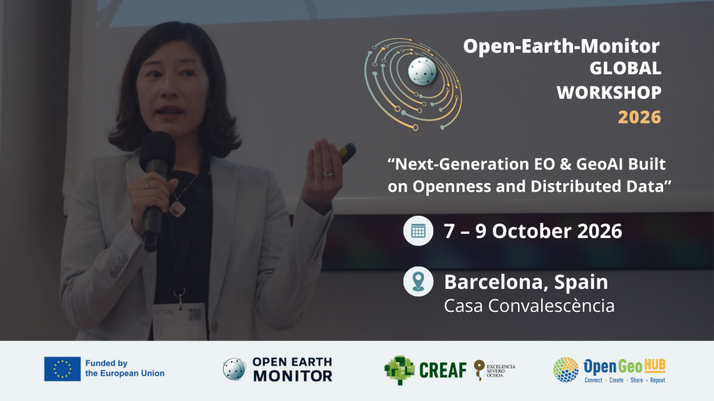
The Open-Earth-Monitor Global Workshops bring together European and global actors in the field of open-source Earth Observation applications in policy, business, research, and for society. In 2023, the participants gathered at Eurac Research, in Bolzano, Italy.
Popular lectures

53:25

1:22:33

52:51

1:22:34

01:00:12
Sign up for our newsletter to receive latest news on our summer schools and projects.
Read our latest articles, and stay up to date with our work.
