Application Deadline: 20th of March 2026
Possible start date: 1st of May 2026
Duration: 3+ years,
Job location: Waldeck Pyrmonthlaan 14, 6865HH Doorwerth
Bruto monthly salary: starting at €4,494 gross per month (with possible bonuses)
Job type: Post-doctoral researcher
Fields: pedometrics, soil carbon, computational notebooks, machine learning, geoinformatics, uncertainty modeling
Employer: OpenGeoHub foundation
Job description
OpenGeoHub foundation is a not-for-profit research foundation with headquarters at Doorwerth (half way between Wageningen and Arnhem), the Netherlands. We aim to become world experts in producing global and regional spatial predictions of soil, vegetation and climatic variables. For this, we use high performance computing / optimisation and state-of-the-art machine learning.
OpenGeoHub foundation is looking for a data scientist to support development of predictive soil mapping workflows to help increase accuracy of predictions of soil carbon and other physical and chemical soil properties in spacetime (biannual, annual or monthly predictions). You would primarily contribute to the Horizon Europe projects Open Geospatial Carbon Registry (OGCR), but also actively contribute to the OpenLandMap.org, EcoDataCube.eu and the Land Carbon Lab projects. You would contribute to soil data quality control, fitting pedo transfer functions (using R and/or Python), running various erosion, hydrological flow models, working with Digital relief/topographic data, spatial modeling with soil-hydrology data, doing interpretation of soil predictions including predictive soil mapping results.
OpenGeoHub would provide HPC infrastructure called EOsoilmapper (that includes own copy of Landsat, MODIS and numerous other global and regional data sets; >3PB of data running on some 50 servers) and would lead and supervise the candidate jointly with other partner organizations on the AI4SoilHealth, OEMC and OGCR projects. You would assist in developing soil-hydrology models for the purpose of soil erosion risk mapping, flood / drought risk mapping, based on the best training points with in-situ measurements.
You would also support projects that are implemented by networks of researchers outside of OpenGeoHub. OpenGeoHub works closely with IIASA (Geo-wiki.org), Utrecht University, Wageningen University (Laboratory of Geo-information Science and Remote Sensing), EURAC Research, The Woodwell Climate Research Center, Max-Planck-Institute for Biogeochemistry (Biogeochemical Integration Department), Institute for Geoinformatics (ifgi) / University of Münster, CNR IRPI, GFZ Helmholtz German Research Centre for Geosciences, GiLAB.rs, Technical University of Vienna, DLR, and many other organizations. Our clients / collaborating organizations also include: World Resources Institute, The Nature Conservancy, UNCCD, Conservation International and others.
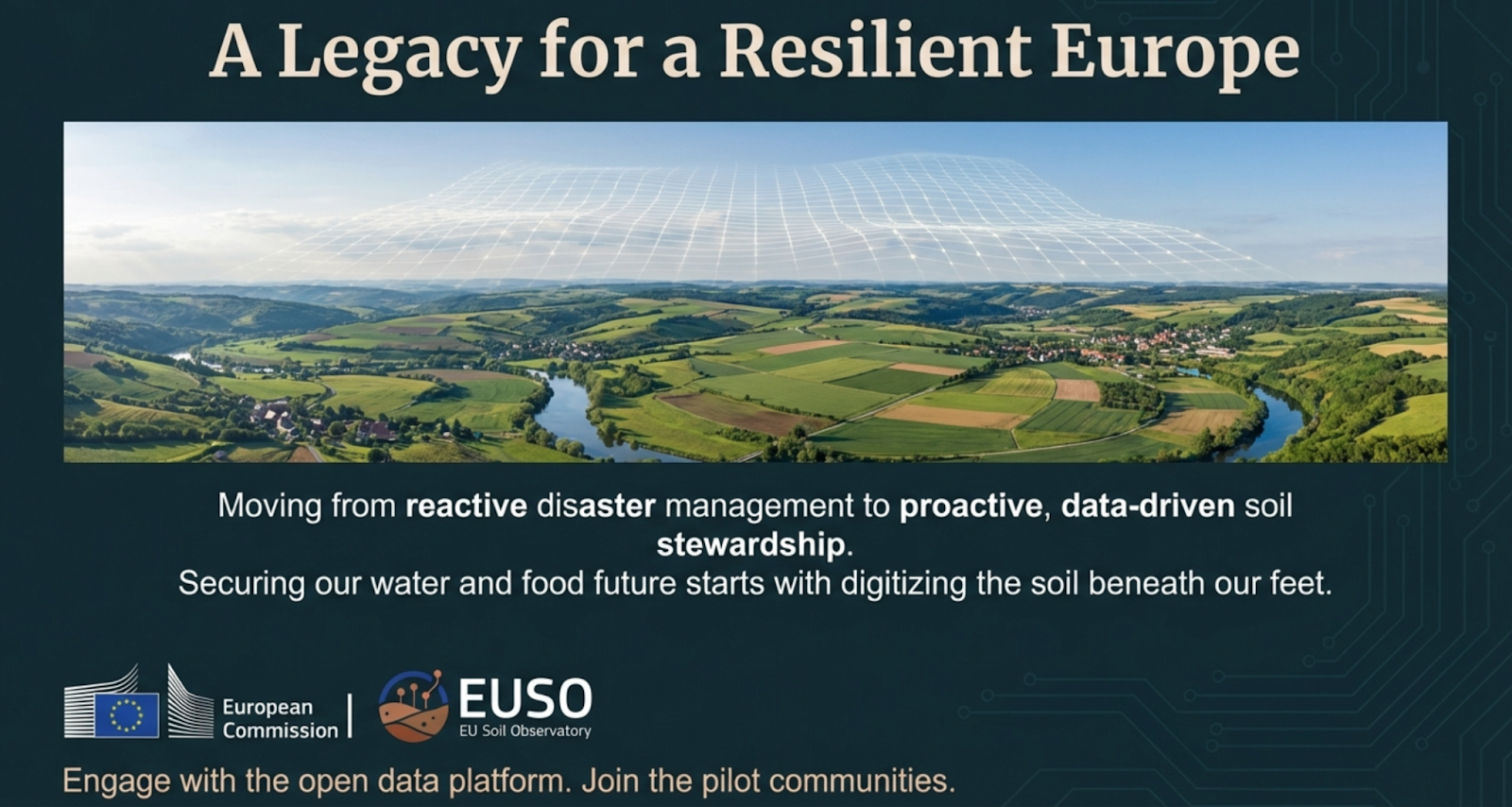
“Soil is not just a medium for growth; it is a reservoir for water and carbon that also moderates the global climate. Healthy soil infrastructure is the hardware; our project is building software to operate the hardware.”
Your profile
Minimum requirements:
• You have an MSc & PhD degree in the field of soil science and/or geoinformatics and/or environmental science; combined with strong backgrounds in statistics.
• You have a minimum 5 years of work experience.
• You are familiar with Earth Observation data, data cubes and image processing algorithms.
• You have minimum coding & geocomputing skills in data science programming languages such as Python, Bash, R, and/or Julia.
• You know how to fit predictive soil mapping models and use them for large-scale mapping.
• You have experience with using scikit-map or similar comprehensive Machine Learning frameworks.
• You know how to simplify code and processes and run automated software checks.
• You are competent at, and enjoy giving training and hands-on sessions.
• You are fluent in English.
INFORMATION AND APPLICATION
Questions:
Questions regarding this position can be directed to Tom Hengl, email: tom.hengl@opengeohub.org . Applications, including (1) a CV, (2) a statement of your interest and vision, and (3) a self-assessment based on the minimum requirements, should be uploaded via this link. Please prepare all documents as a PDF before starting the application.
Our offer:
We offer a full-time position for 3+ years, with possible permanent position, within a very stimulating international innovation and research environment aiming at solving global and regional environmental problems at large scales. You will work in a dynamic work environment with enthusiastic colleagues usually from a variety of countries.
• Starting salary will be: starting from €4,494 gross per month with possible bonuses;
• A holiday allowance of 8% of the gross annual salary;
• Minimum of 29 holidays if in full-time employment;
• Professional and personal development programs.
We strongly encourage a high degree of responsibility and independence, while collaborating with other colleagues. Flexi-hours and occasional remote working (1 day a week) are also possible upon agreement with the OpenGeoHub Management Board.